Ngorongoro Conservation Area

Ngorongoro Conservation Area
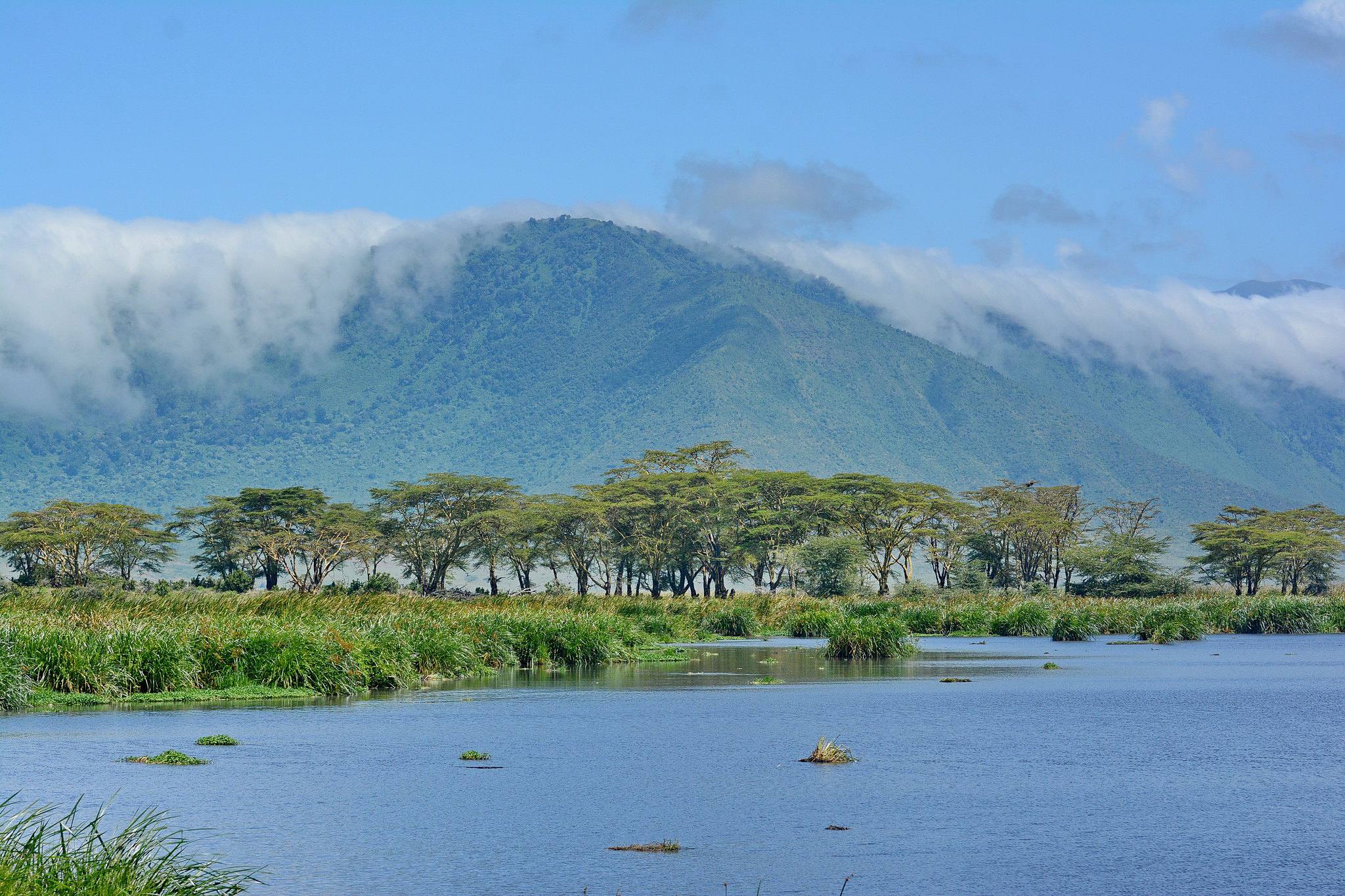
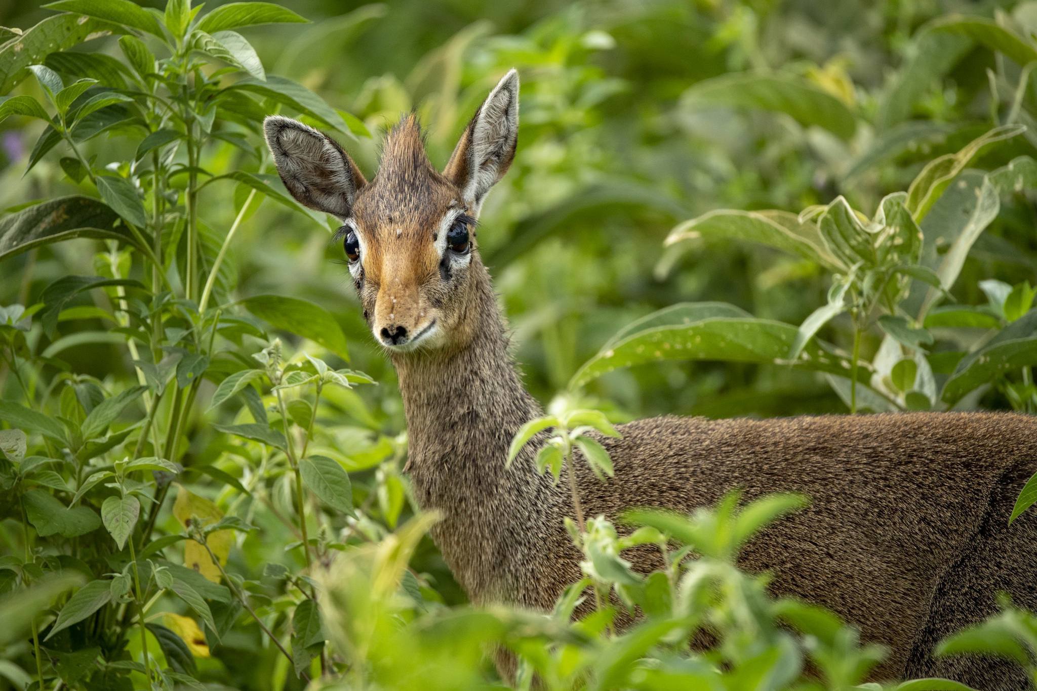
The Ngorongoro Conservation Area spans from Serengeti National Park in the north, to the Great Rift Valley in the east. In total, the conservation area covers more than 8,000 km² (3,200 sq. miles). It consists of the Ngorongoro Crater, Ndutu, Olduvai Gorge, Empakaai, Olmoti Crater and Oldonyo Lengai Mountain. The mix of forests, valleys, savannah, craters, lakes and swamps is home for a wide range of animals.
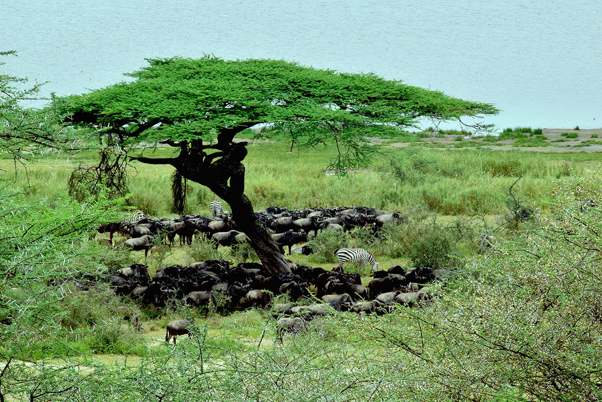
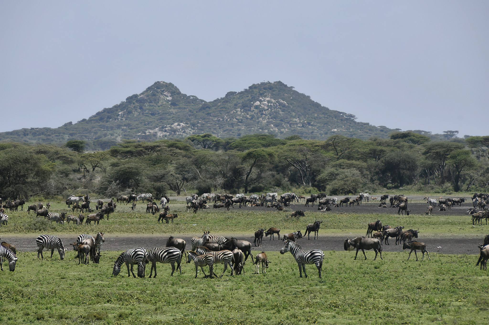
As one of Africa's Seven Natural Wonders, NCA was universally recognized as a UNESCO World Heritage in 1979 under the natural and cultural criteria owing to its global importance for biodiversity conservation having demonstrated by the existence of globally threatened species, the density of wildlife inhabiting the area, and the annual migration of wildebeest, zebras, gazelles, and other wild animals into the northern plains. Its cultural recognition stemming from an exceptionally long sequence of crucial evidence related to human evolution and human-environment dynamics. Due to its exceptionally long sequence of this crucial evidence, spanning nearly four million years to the beginning of this era, including physical evidence of the most important benchmark in human evolutionary development, NCA’s global identity is fairly justified.
At its inception, the Ngorongoro Conservation Area was primarily established as a multi-land use area, where wildlife could co-exist with the most dominant semi-nomadic Maasai residents, who always move from one place to another in search of water and pasture for their livestock.
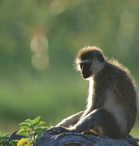
The Ngorongoro Conservation Area is known to be a permanent homeland to multiple well-known ethnic groups who share distinctive customs and lifestyles, including the Hadza or Hadzabe and Datoga, Irawq. The Maasai people, however, are the most prominent ethnic group, who are thought to have migrated southeast from the Nile region in the 18th century.
The Maasai and Datoga are pastoralists, whereas the Hadzabe are hunter-gatherers and are not related to any of the ethnic groups in the area. They are an indigenous ethnic group found in the Lake Eyasi area, with a population of less than 1000 people. Each of these tribes has its own way of life, with its own set of ancient traditions, mythology, tales, songs, and dances.
Ngorongoro Crater
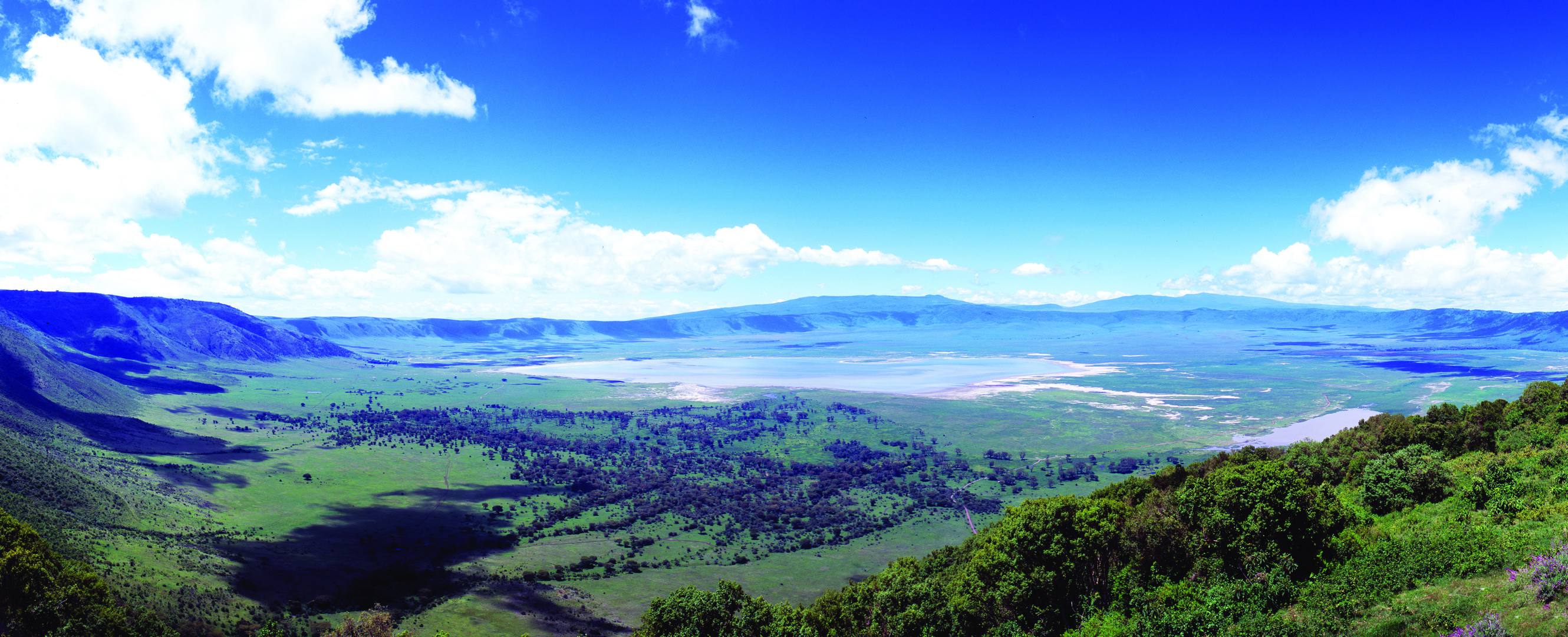
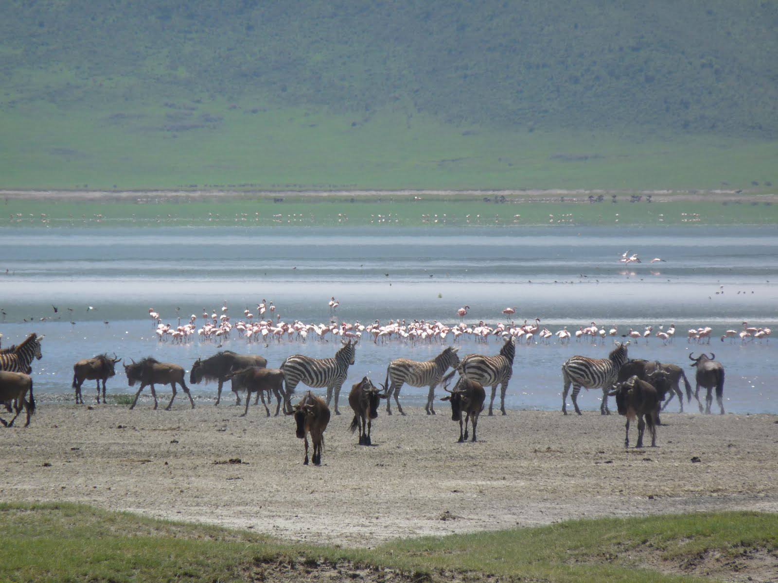
The jewel in Ngorongoro's crown is a deep, volcanic crater formed nearly 2.5 millions years ago, the largest un flooded and unbroken caldera in the world. About 20 kms across, 600 meters deep and 300 sq kms in area, the Ngorongoro Crater is a breathtaking natural wonder.
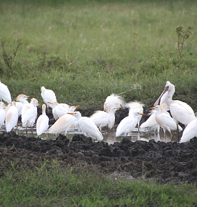
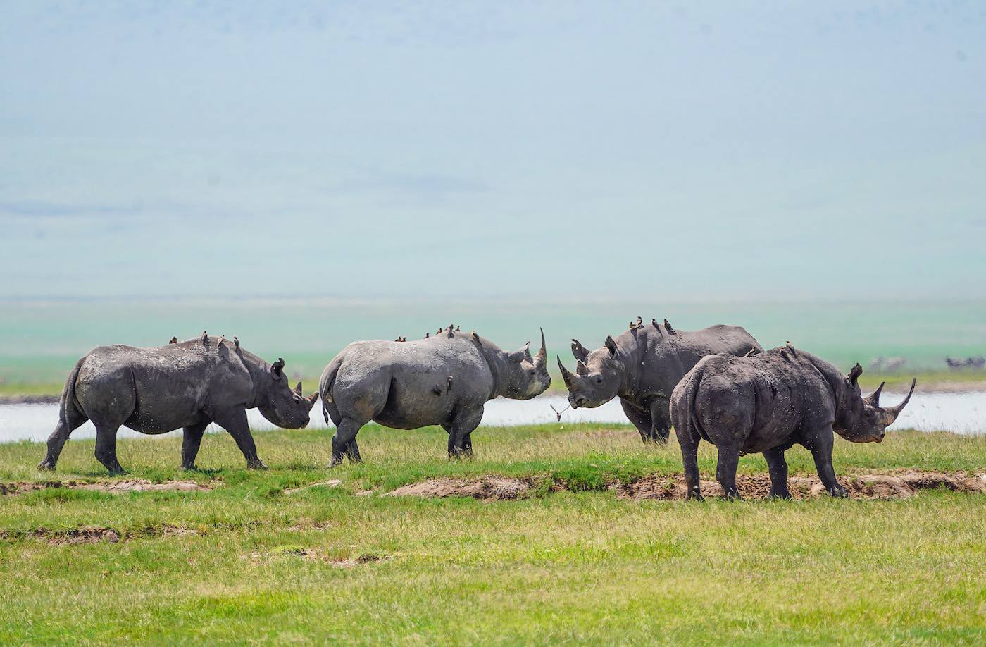
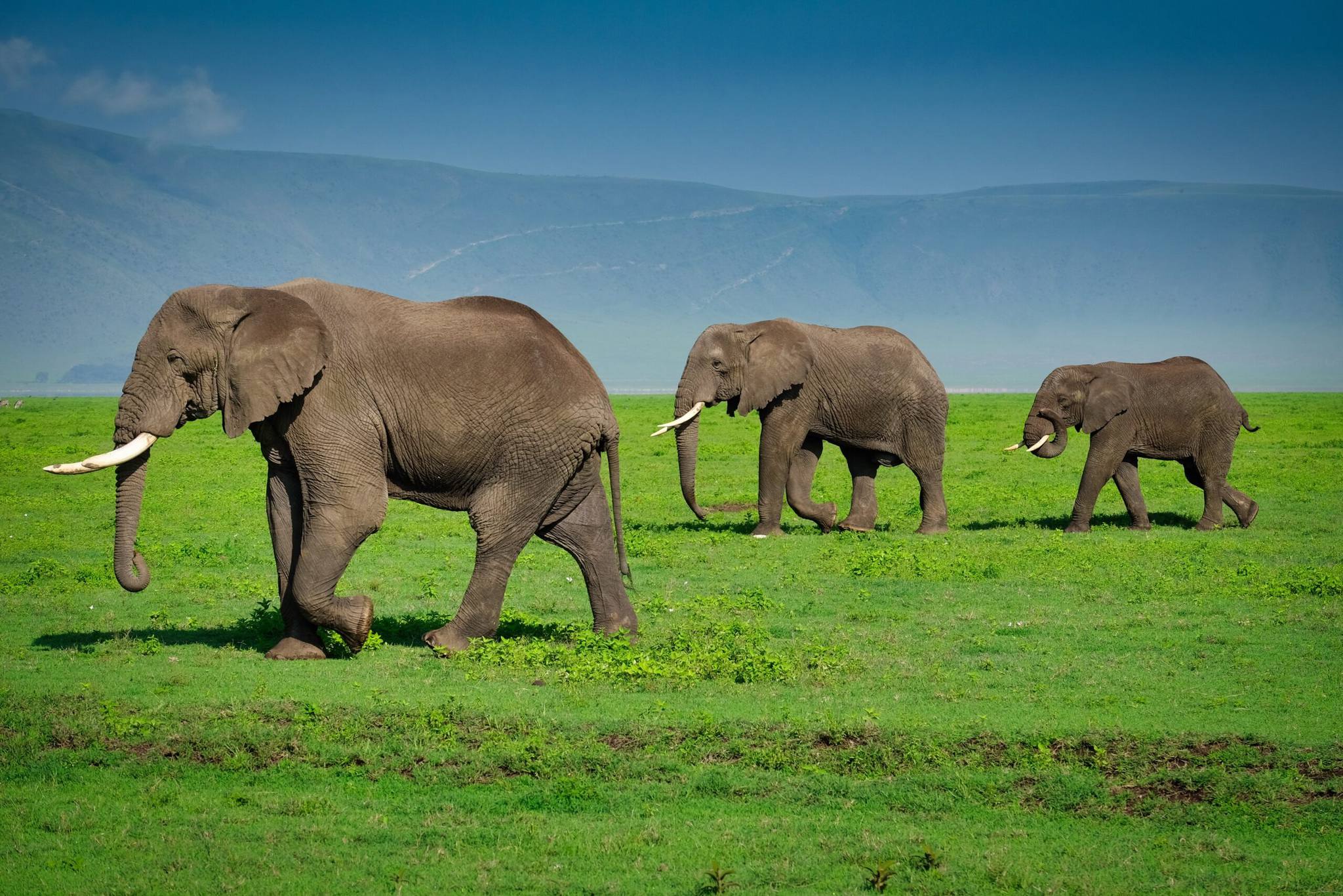
The Ngorongoro Crater is one of Africa’s most famous sites and is said to have the highest density of wildlife in Africa. Sometimes described as an ‘eighth wonder of the world’, the Crater has achieved world renown, attracting an ever-increasing number of visitors each year.
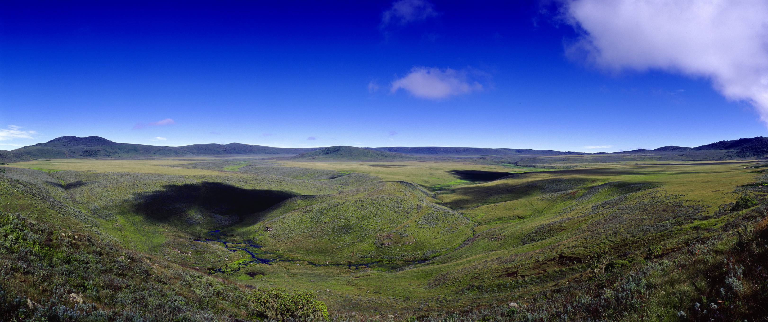
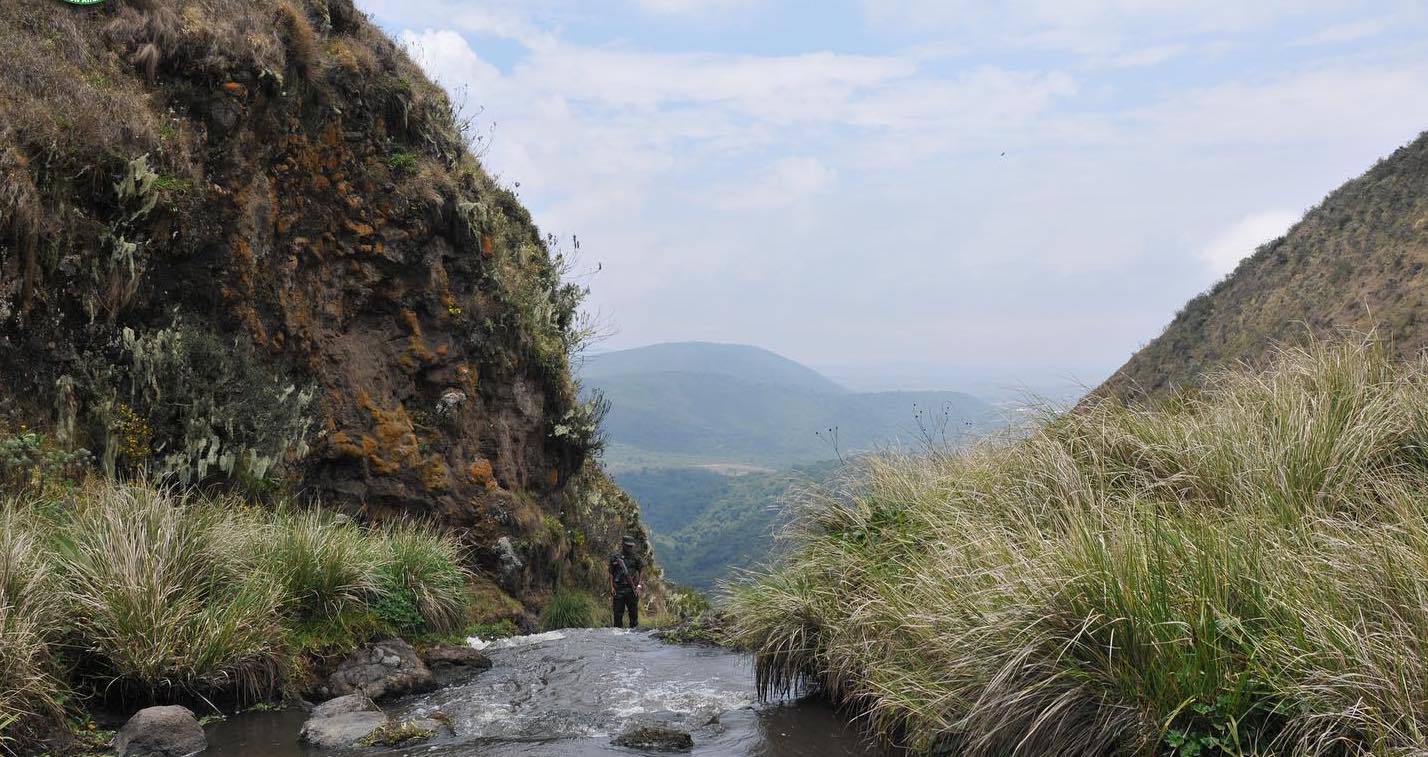
Olmoti Crater
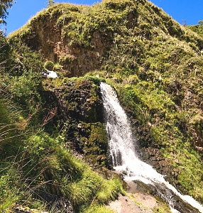
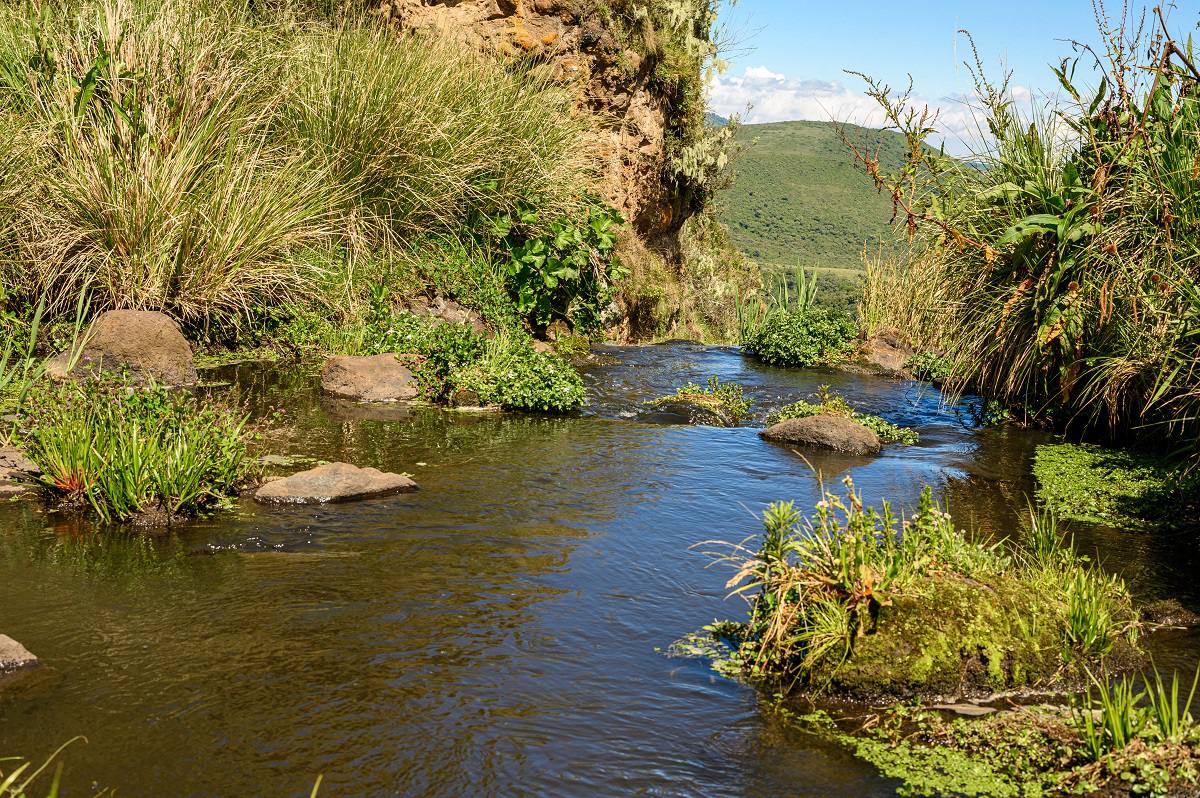
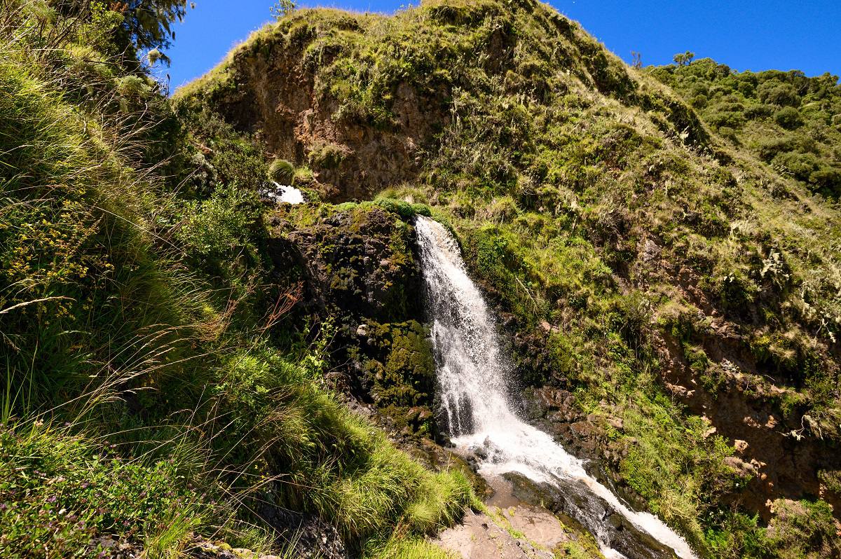
Olmoti is an extinct volcano, whose forested rim rises to 3,099 metres altitude, immediately north of Ngorongoro. The Maasai name Olmoti - ‘Cooking Pot’ – refers to its shallow crater,
whose grassy floor supports eland and bushbuck along with Maasai herders and livestock. A small but spectacular waterfall exits the south side of the crater to form the Munge Stream, which feeds Lake Magadi on the Ngorongoro floor.
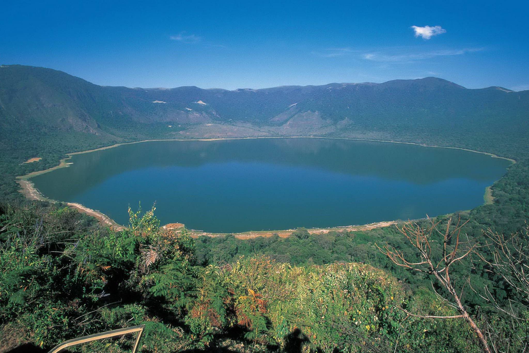
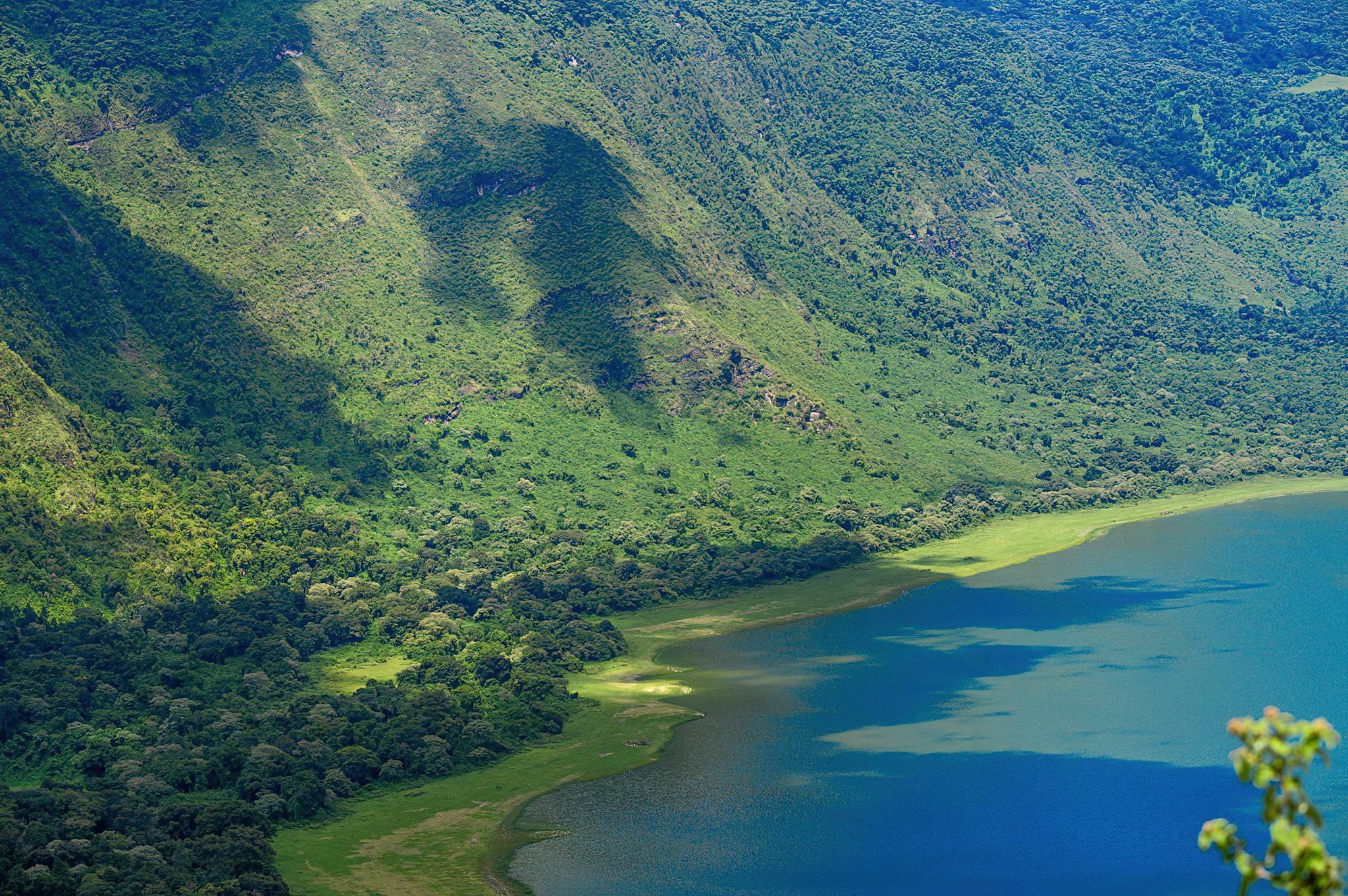
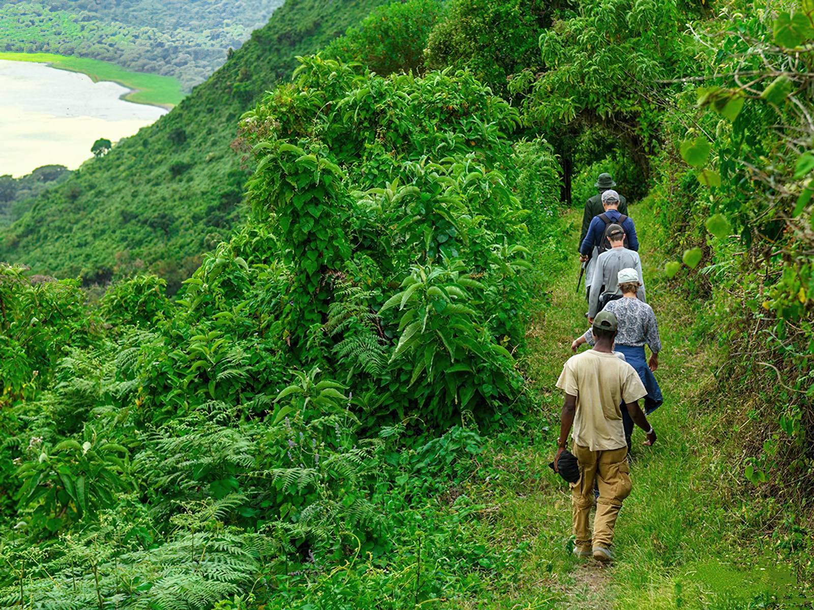
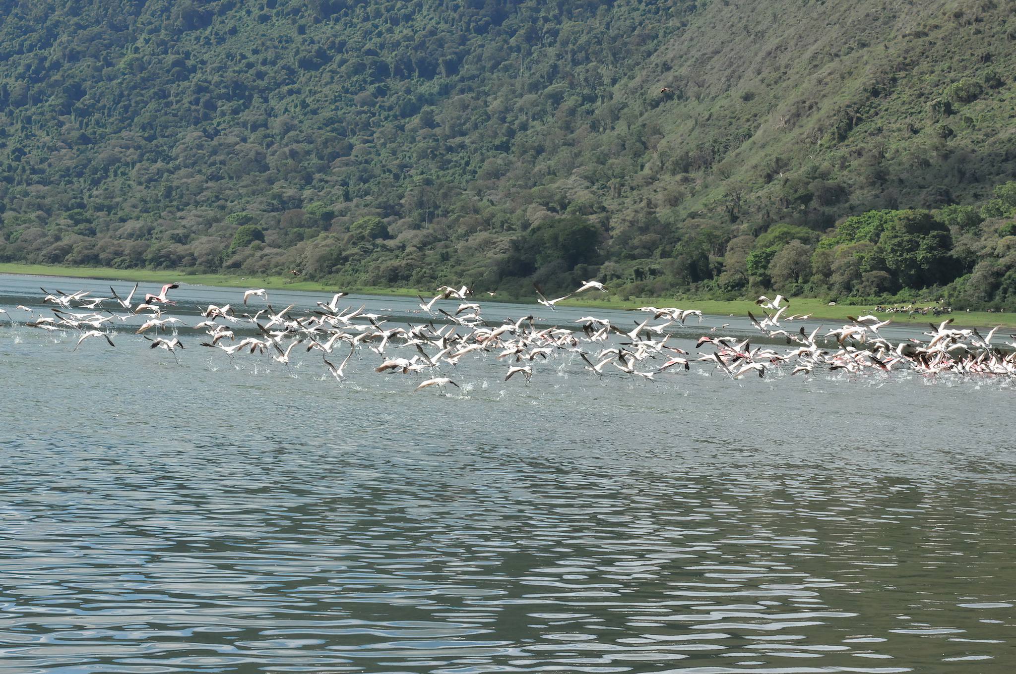
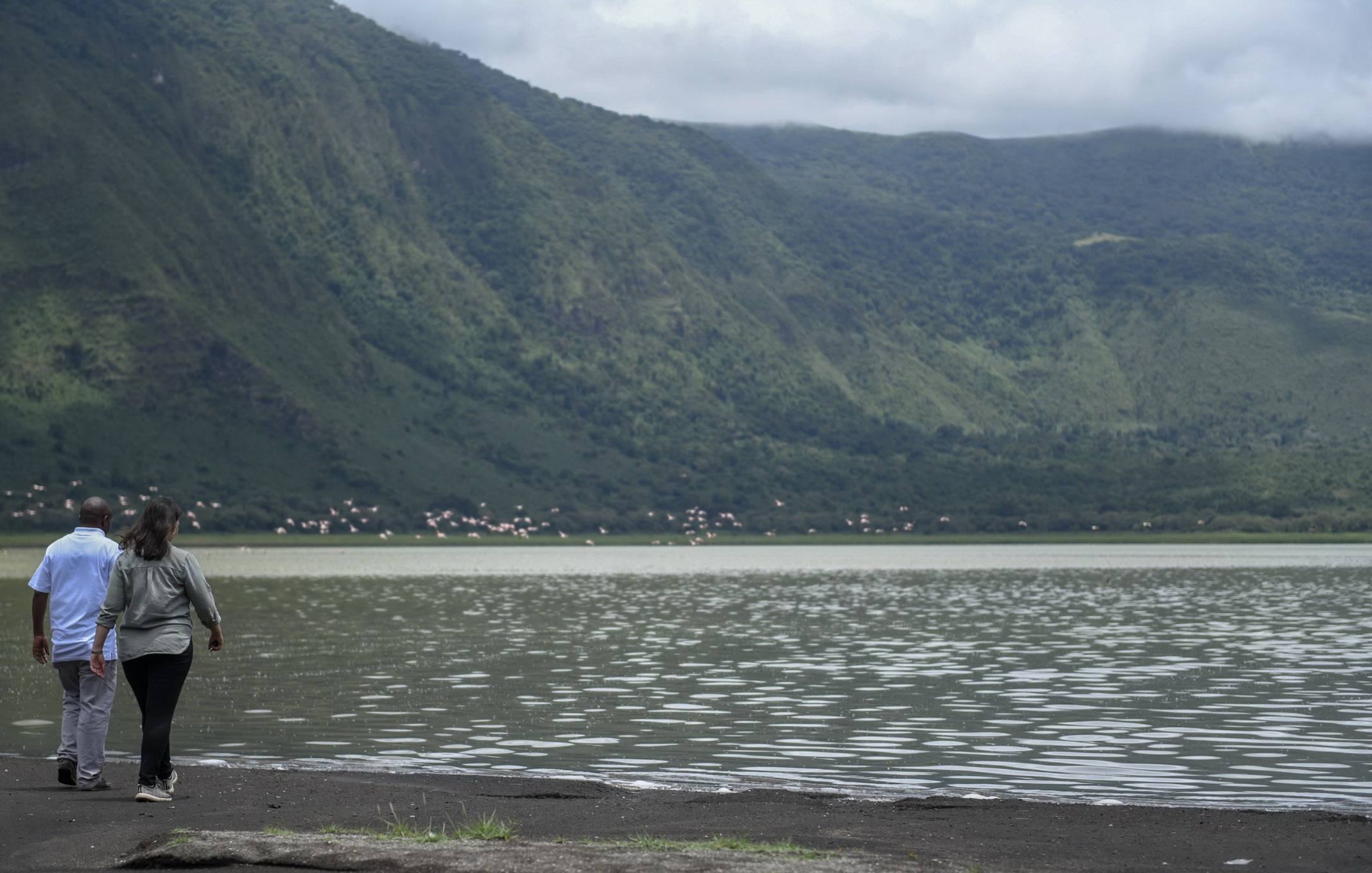
Empakai Crater
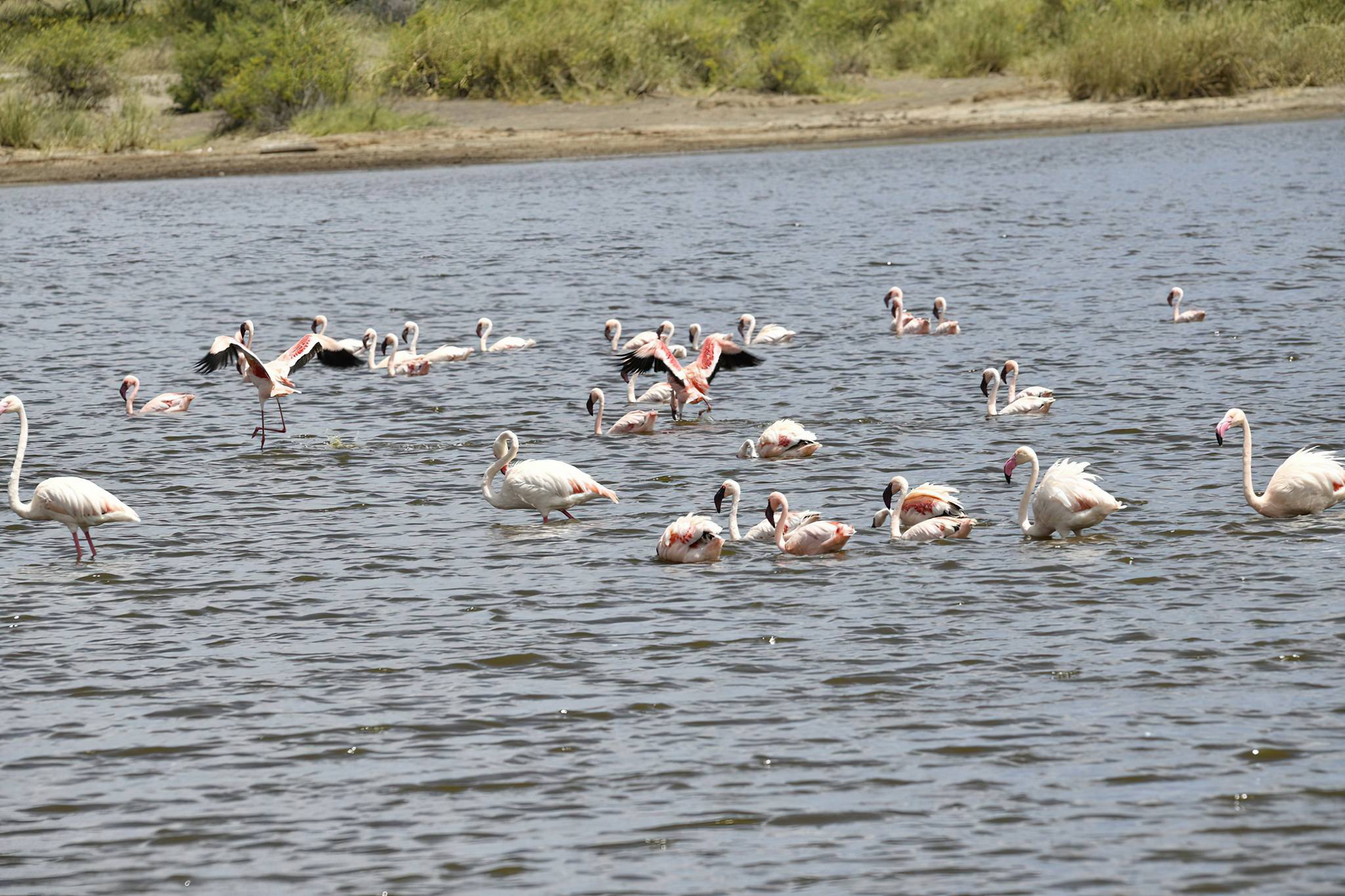
Set below the smouldering peak of Ol Doinyo Lengai, the Empakaai Crater is utterly magnificent, yet its remoteness means it is reached by very few tourists. A 300 metre deep volcanic caldera with a diameter of 6km, it is dominated by a deep emerald soda lake that attracts a wealth of waterbirds.
Much of the 32 km long crater rim can be walked, providing spectacular views and the opportunity to see blue monkey, buffalo, bushbuck and other forest wildlife.
Ndutu Plains
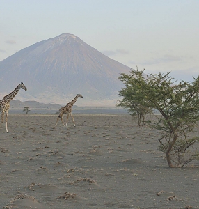
The Ndutu plains are located in the Ngorongoro Conservation Area, on the outskirts of the Southern Serengeti plains. These plains are enriched with tremendous acacia trees, providing a panoramic view across Lake Ndutu and Masek at the other end. It is one of the best places in the Ngorongoro Conservation Area to spot predators and enjoy the stunning landscapes.
Standing here means you're in the midst of a calving ground for migratory wild animals, specifically the wildebeest migration. It is typically composed of vast swaths of short grassland, soda-lake Masek, marshes, and woodland vegetation that support both residents and migratory animals.

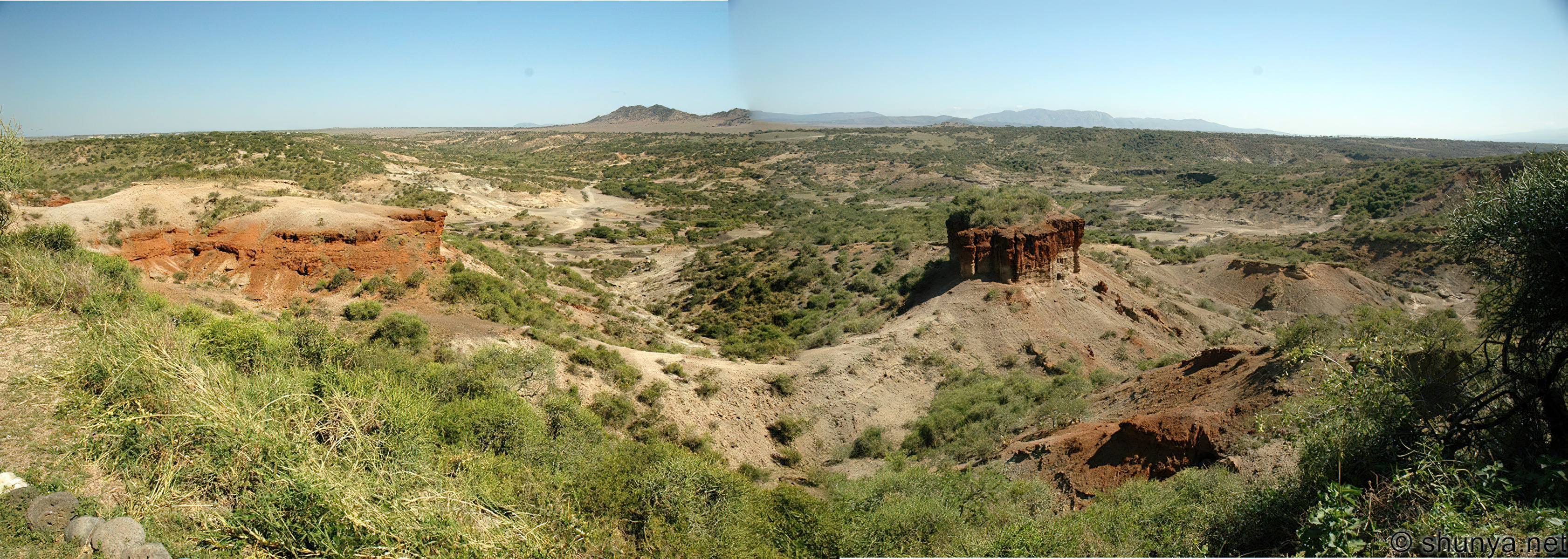
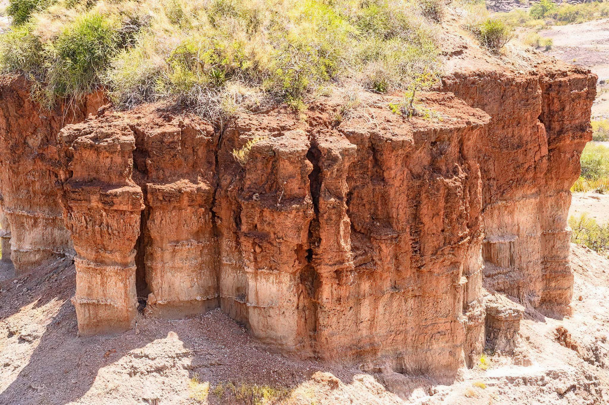
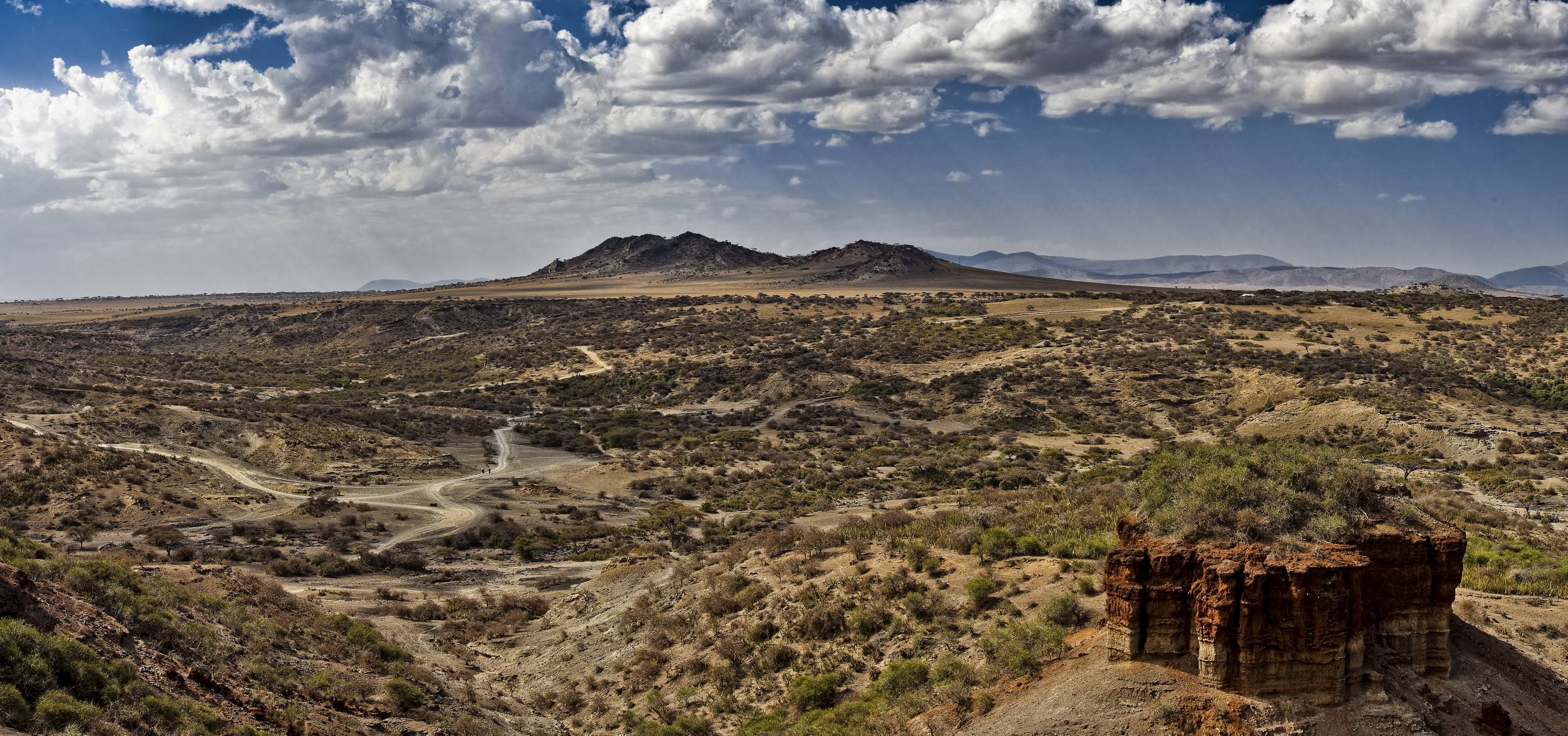
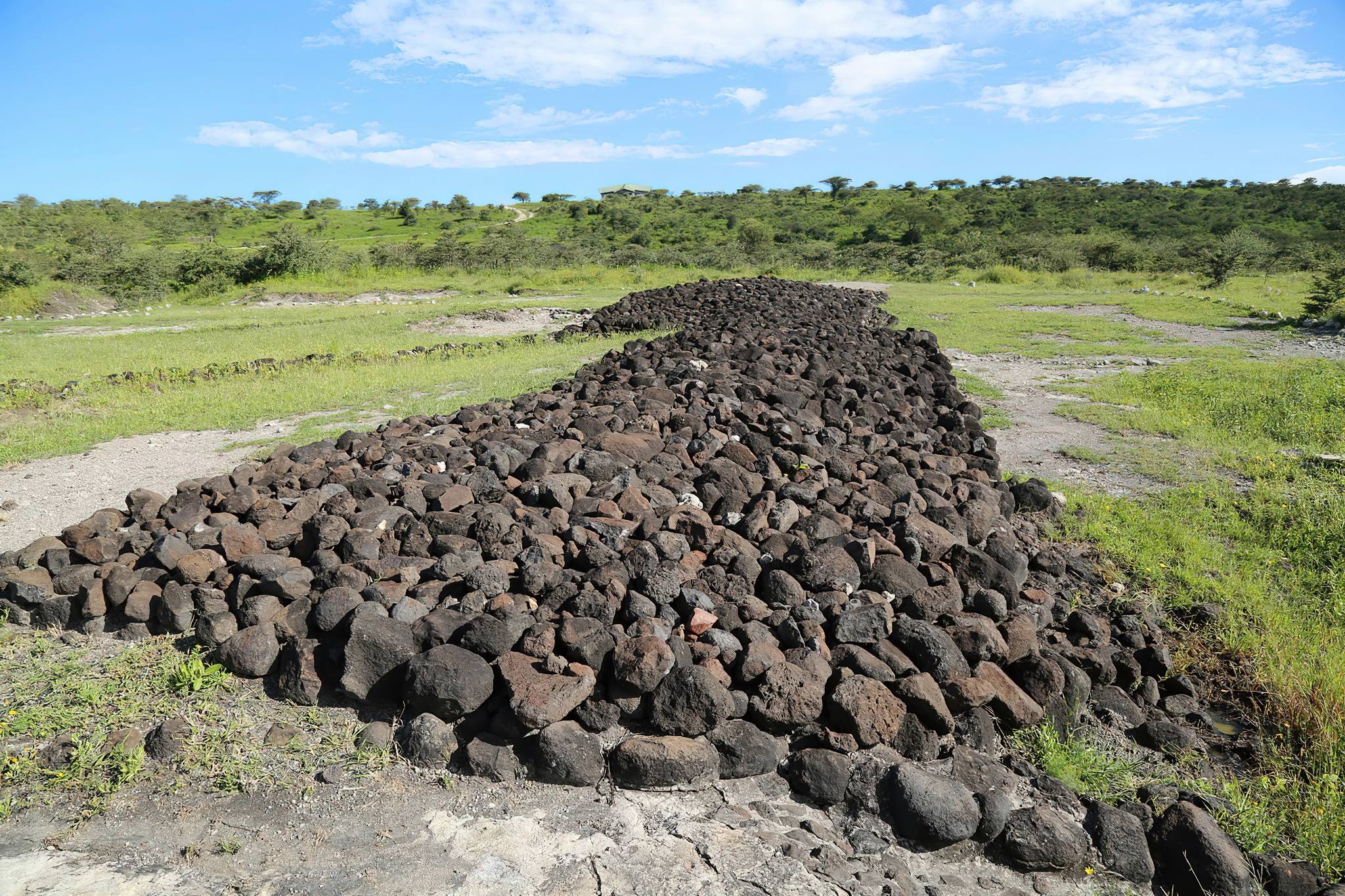
Olduvai Gorge
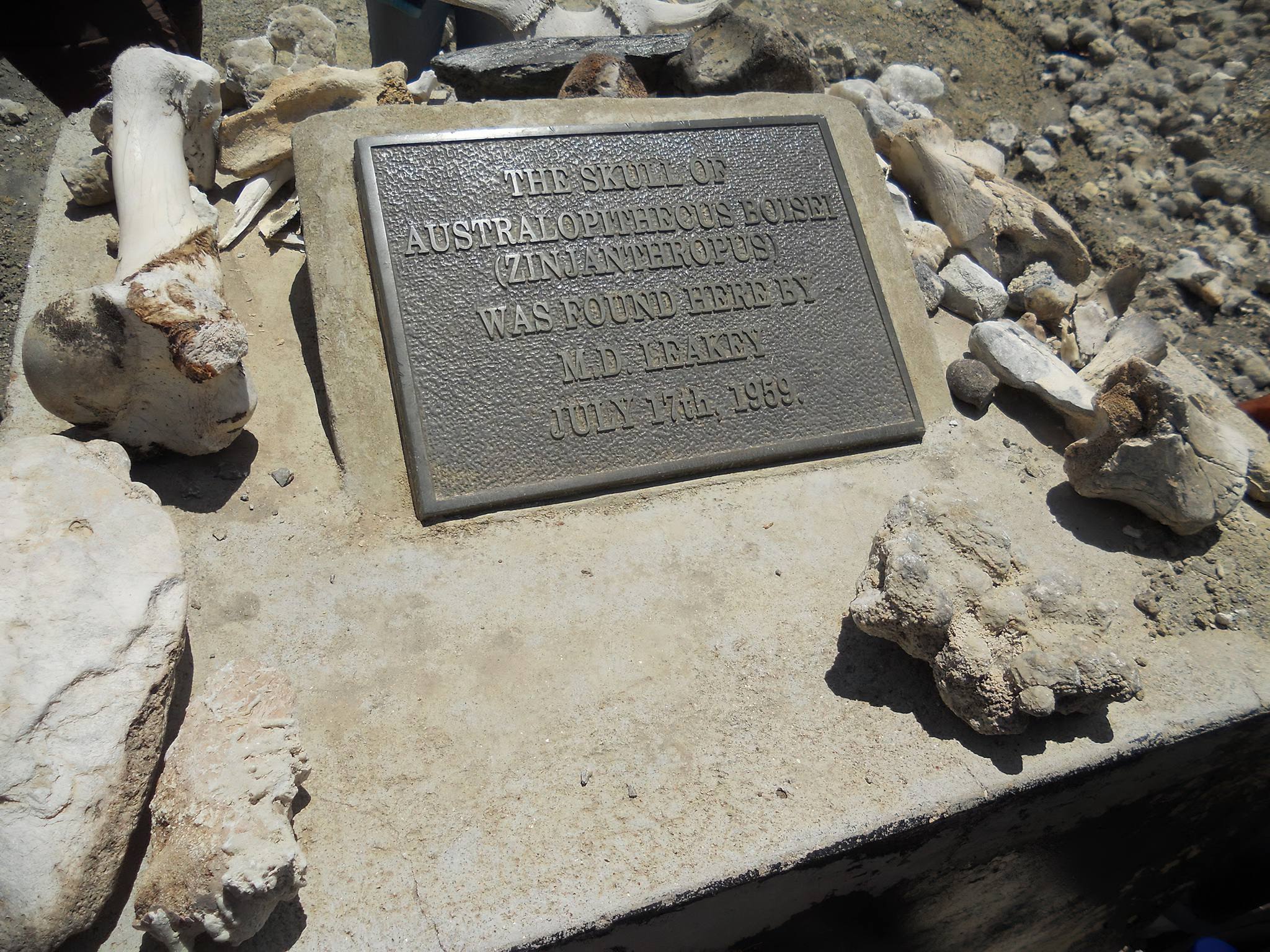
Olduvai Gorge is an exceptionally rich archaeological site, preserving one of the best records of human history spanning nearly 2 Ma. The site has yielded abundant human and animal fossils and stone artifacts preserved in well-dated stratigraphic sequence. The quantity, quality, and geological context of paleontological and archaeological data provide a yardstick for rates of evolutionary changes in human form and stone tool technology.
Over four hominin species, including the holotypes for Paranthropus “Australopithecus” boisei (Zinjanthropus) and Homo habilis, as well as remains of Homo erectus and prehistoric Homo sapiens have been discovered at the site (Leakey 1971).
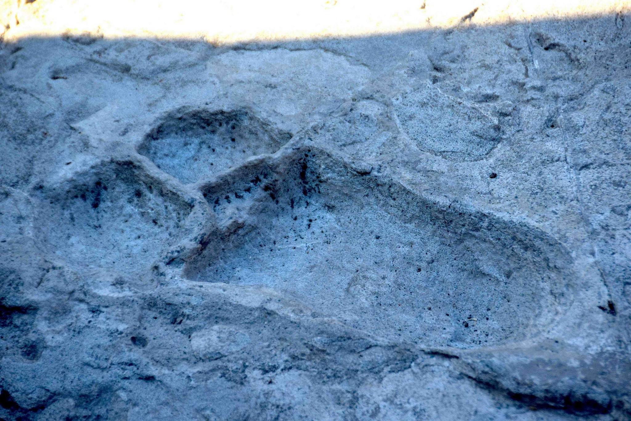
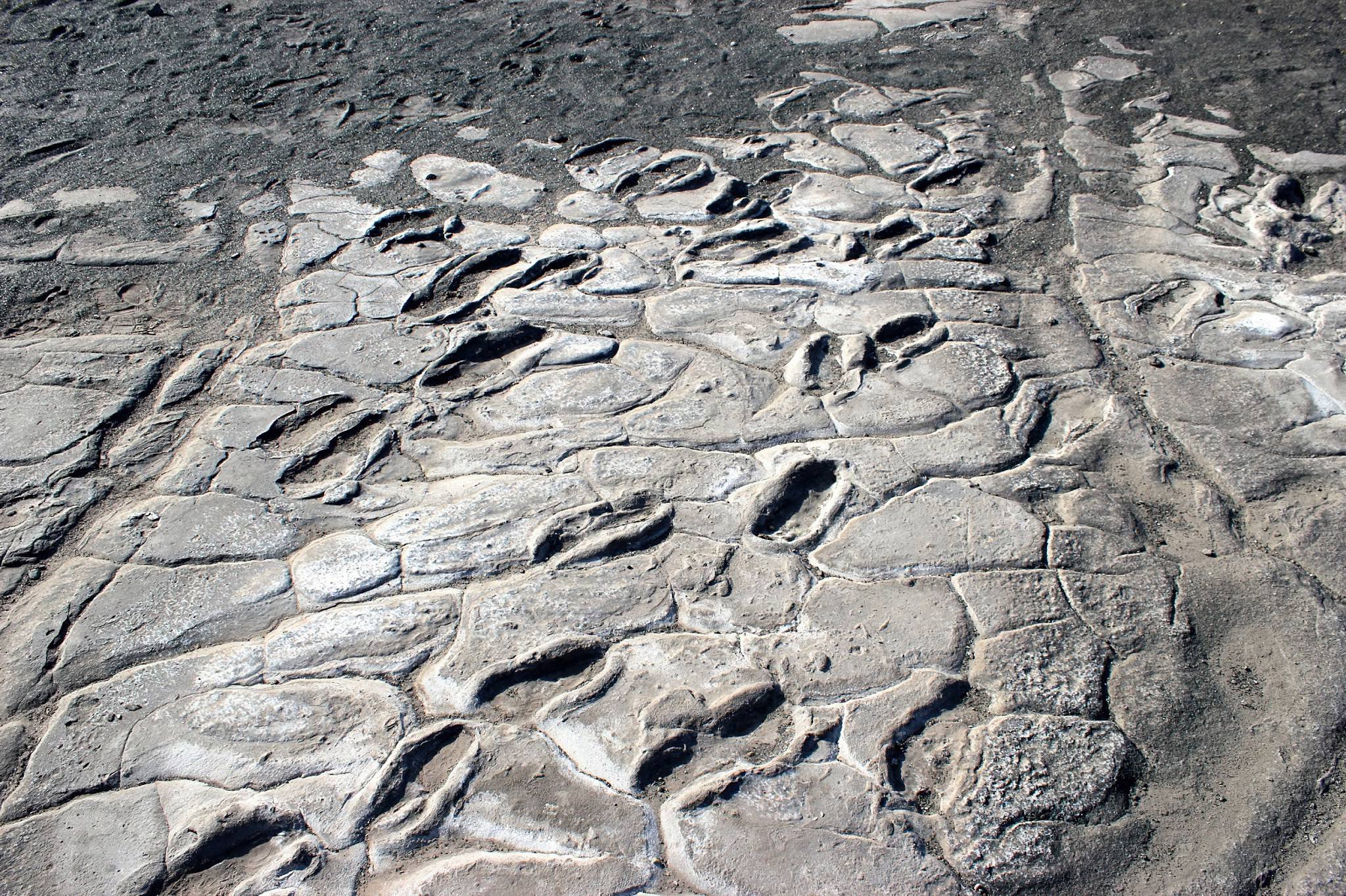
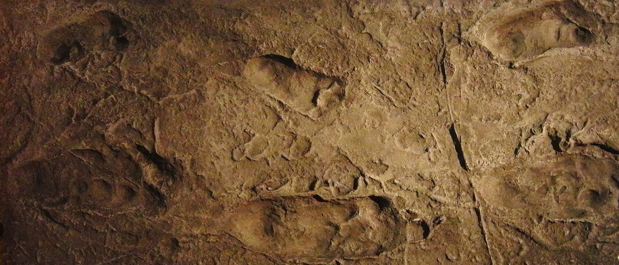
Laetoli Footprints
Laetoli is one of Africa's most important palaeontological sites. It is located on the southern edge of the Serengeti Plains within the Ngorongoro Conservation Area and far north of Lake Eyasi.
The site contains a long series of Plio-Pleistocene, predominantly volcano-sedimentary deposits rich in archaeological and paleontological remains, which are overlain by Precambrian metamorphic rocks.
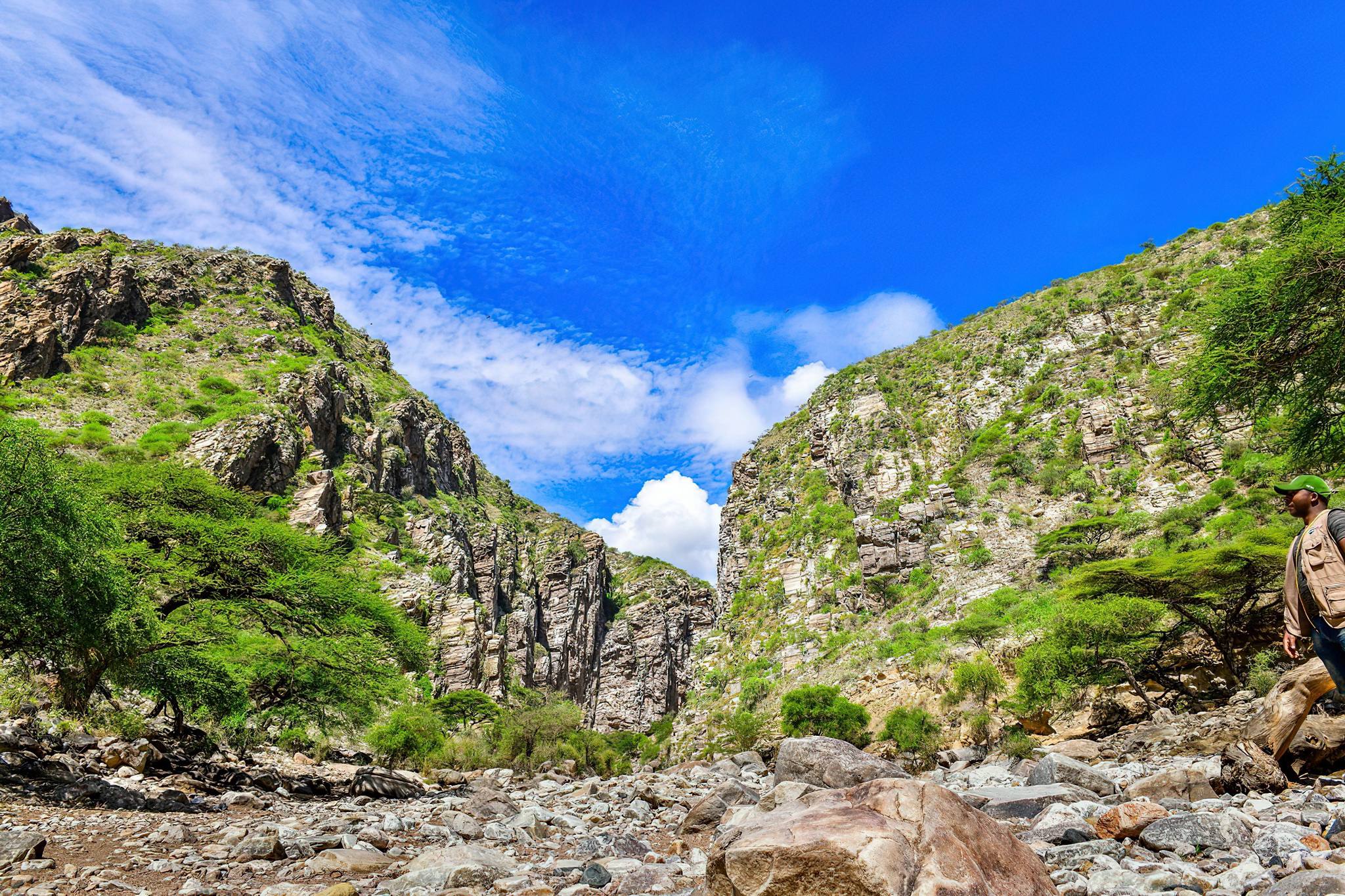
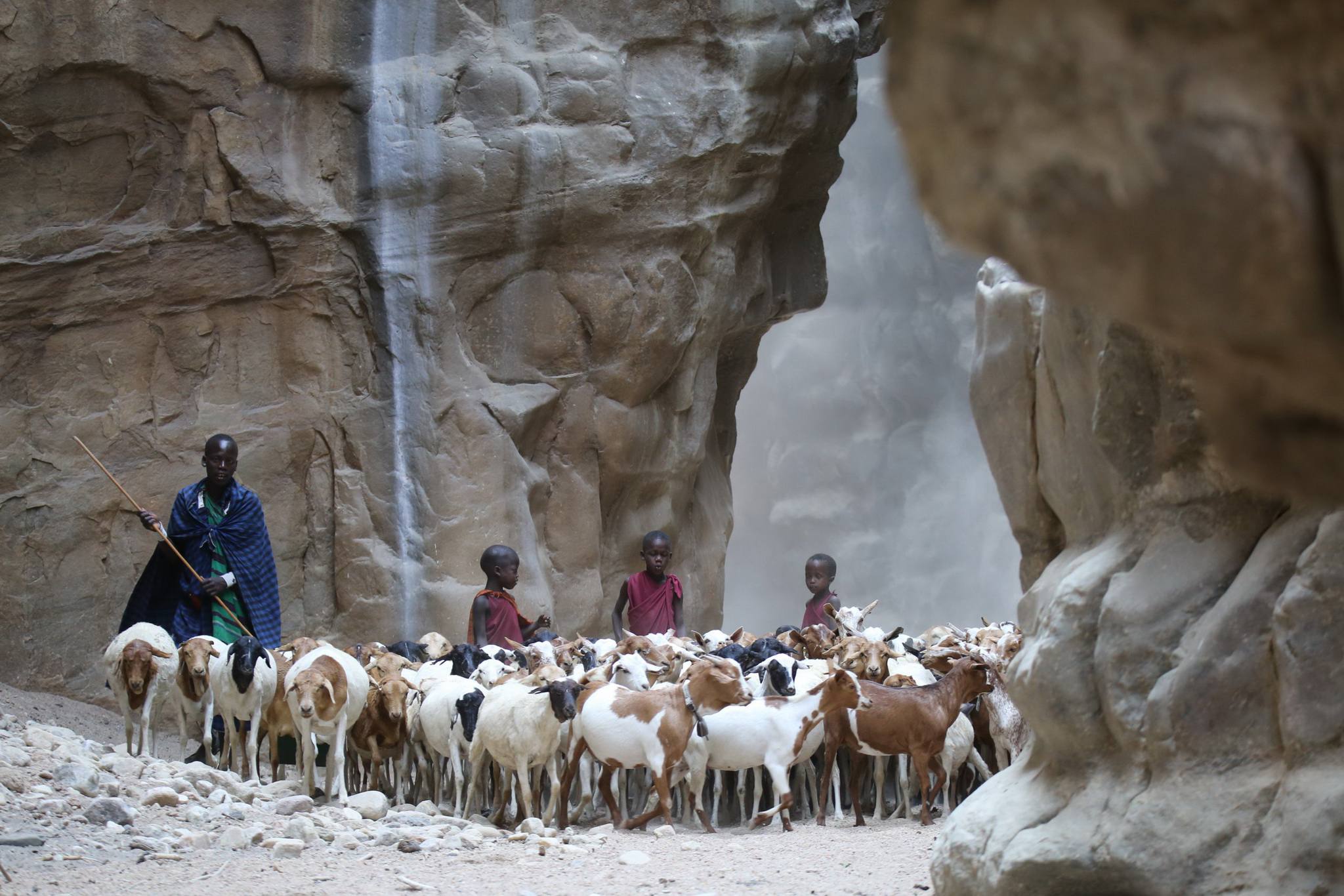
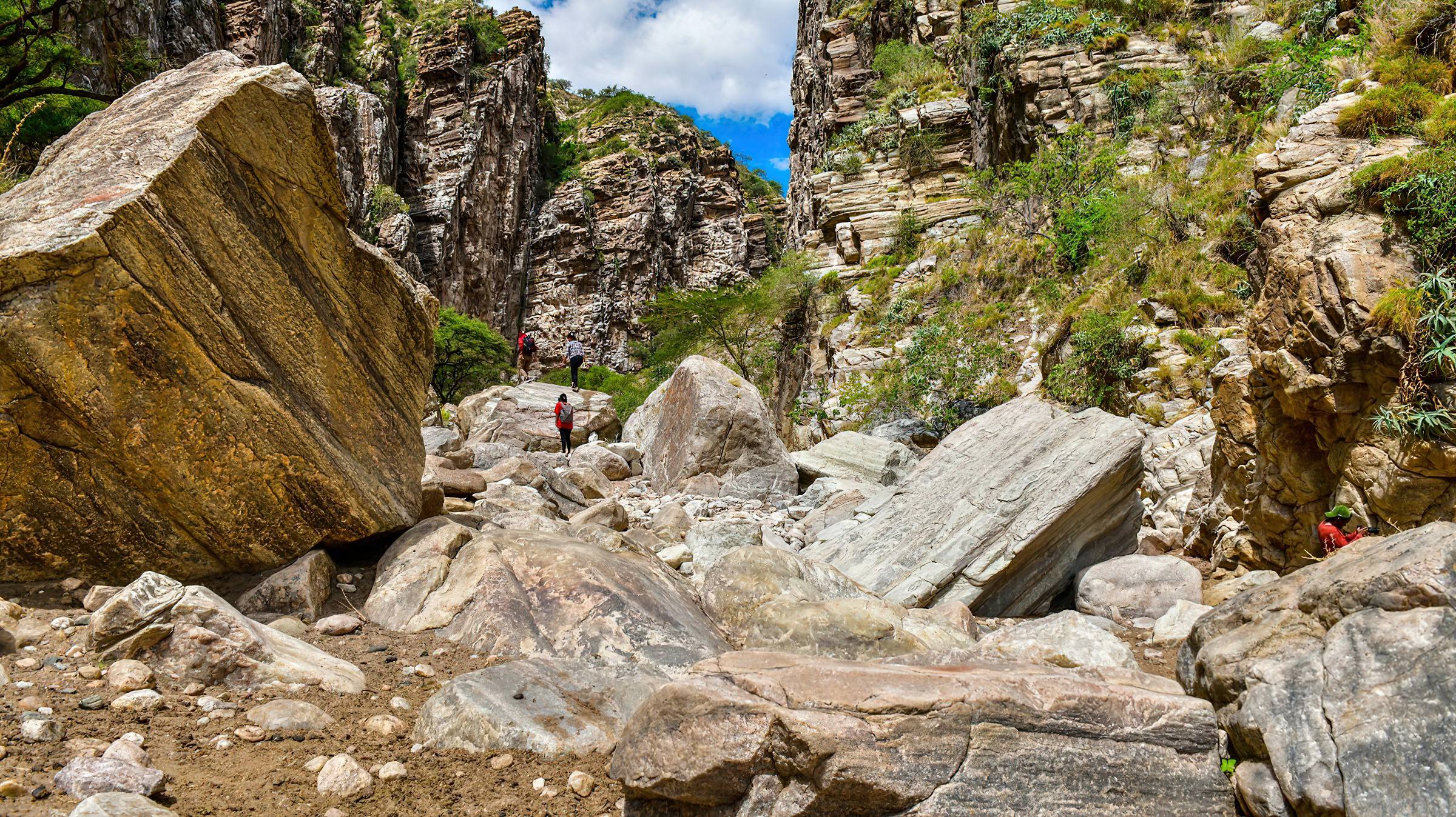
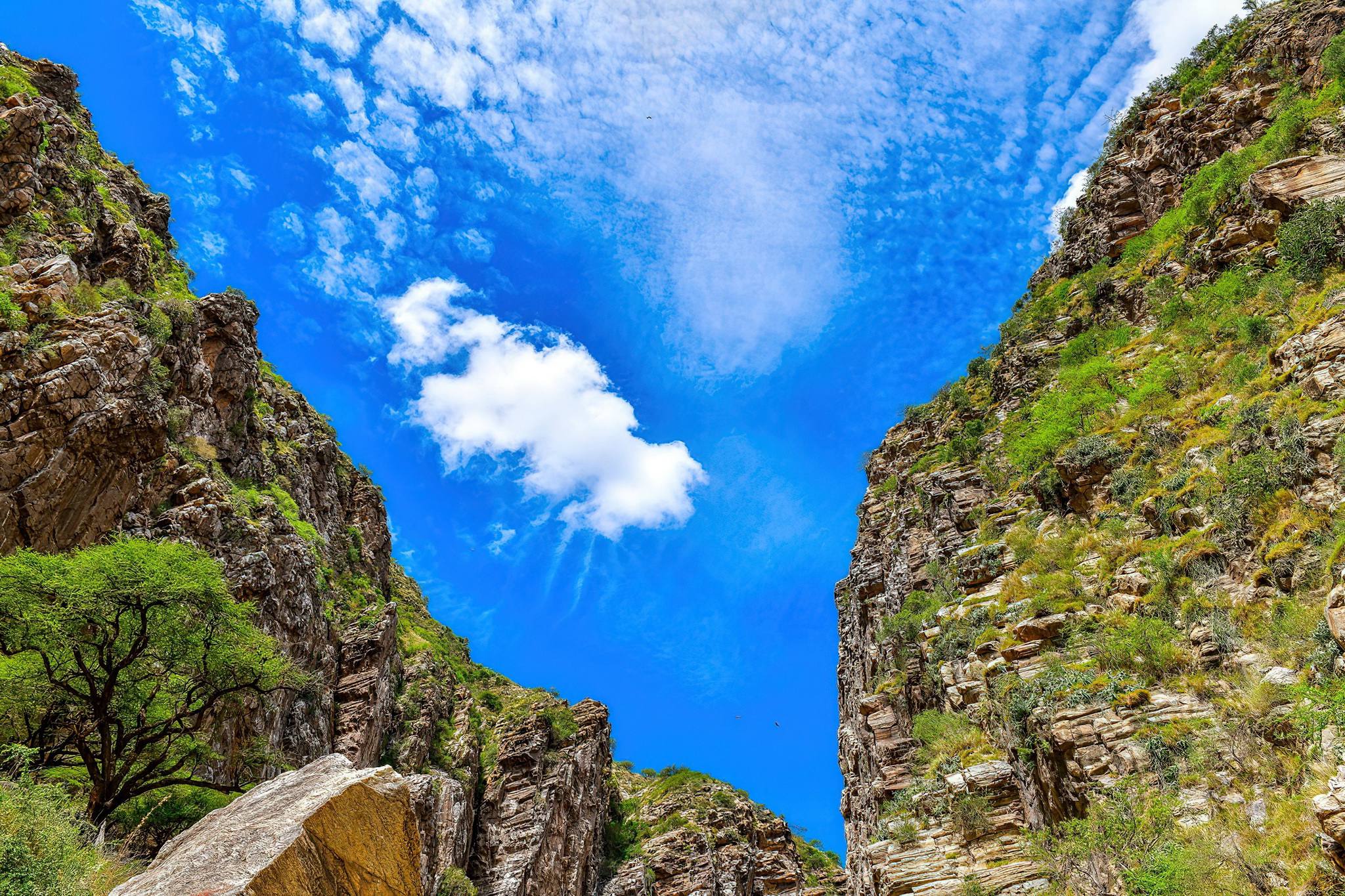
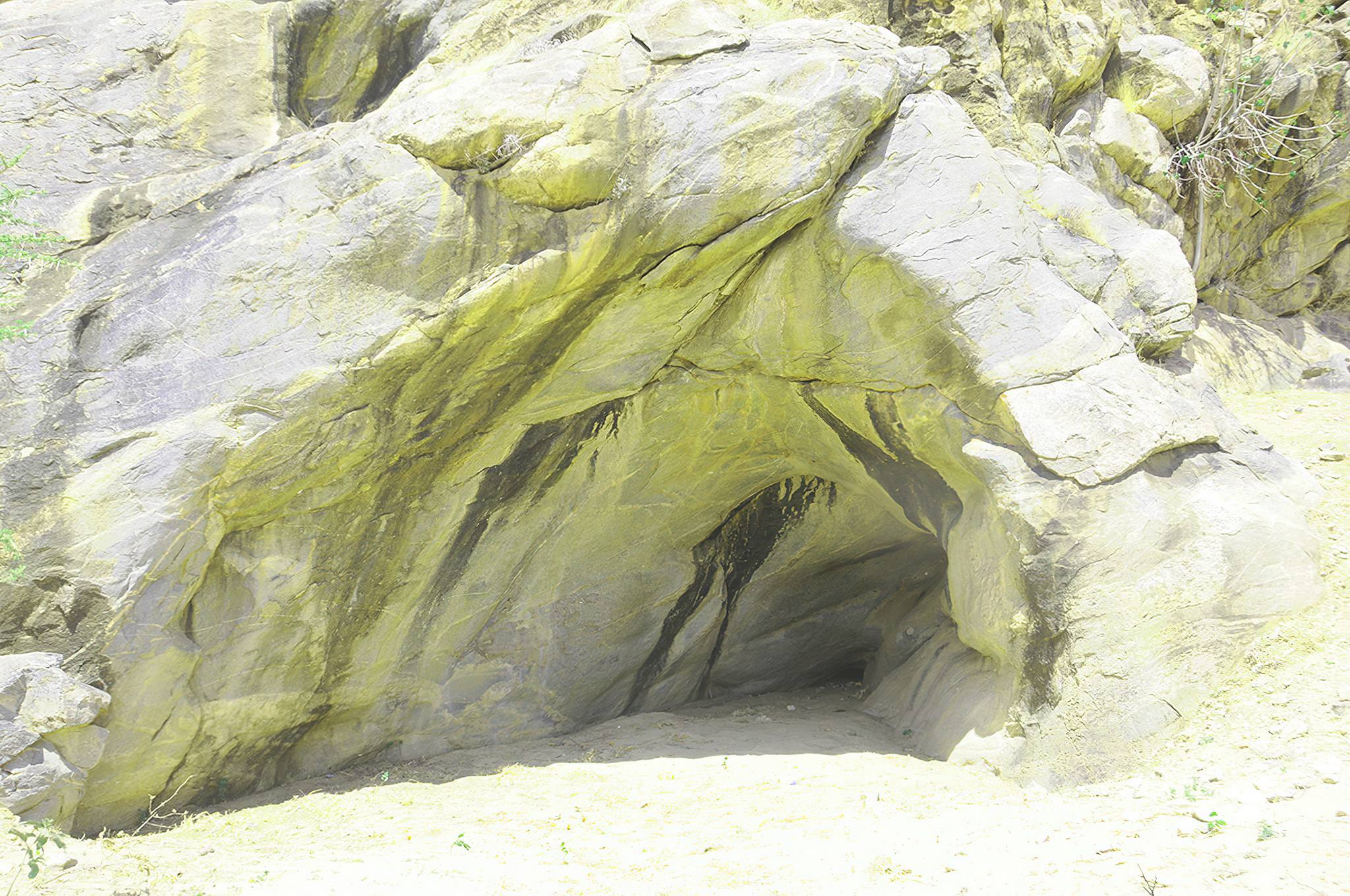
Ol Kerian Gorge
With its vertical rocky sides is home to a large colony of Ruppell’s griffon vultures. This is one of only a few breeding colonies of these huge birds, who are the most common Serengeti vultures. They circle slowly above the gorge waiting to catch the thermals that will take them soaring over the Serengeti plains.
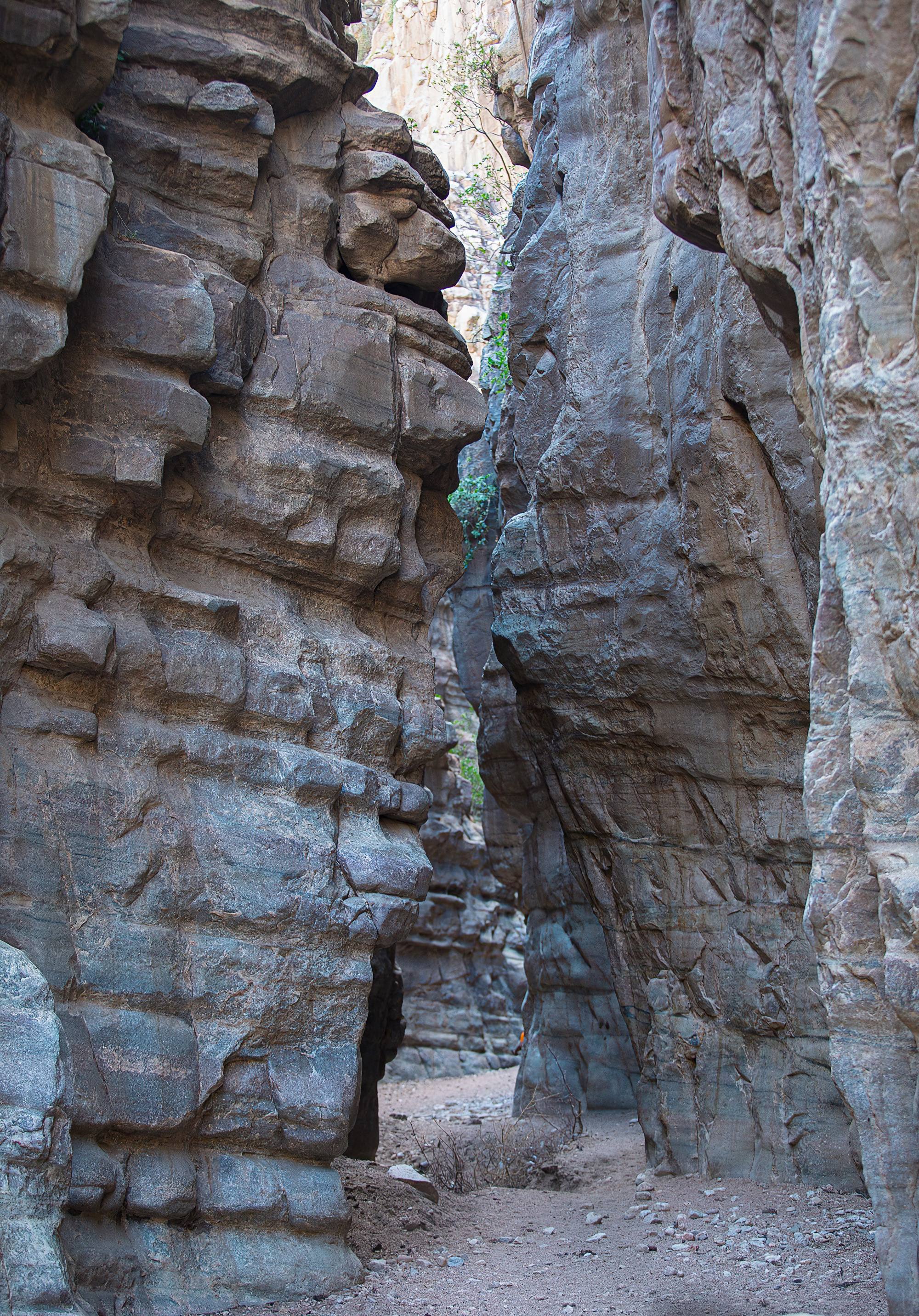
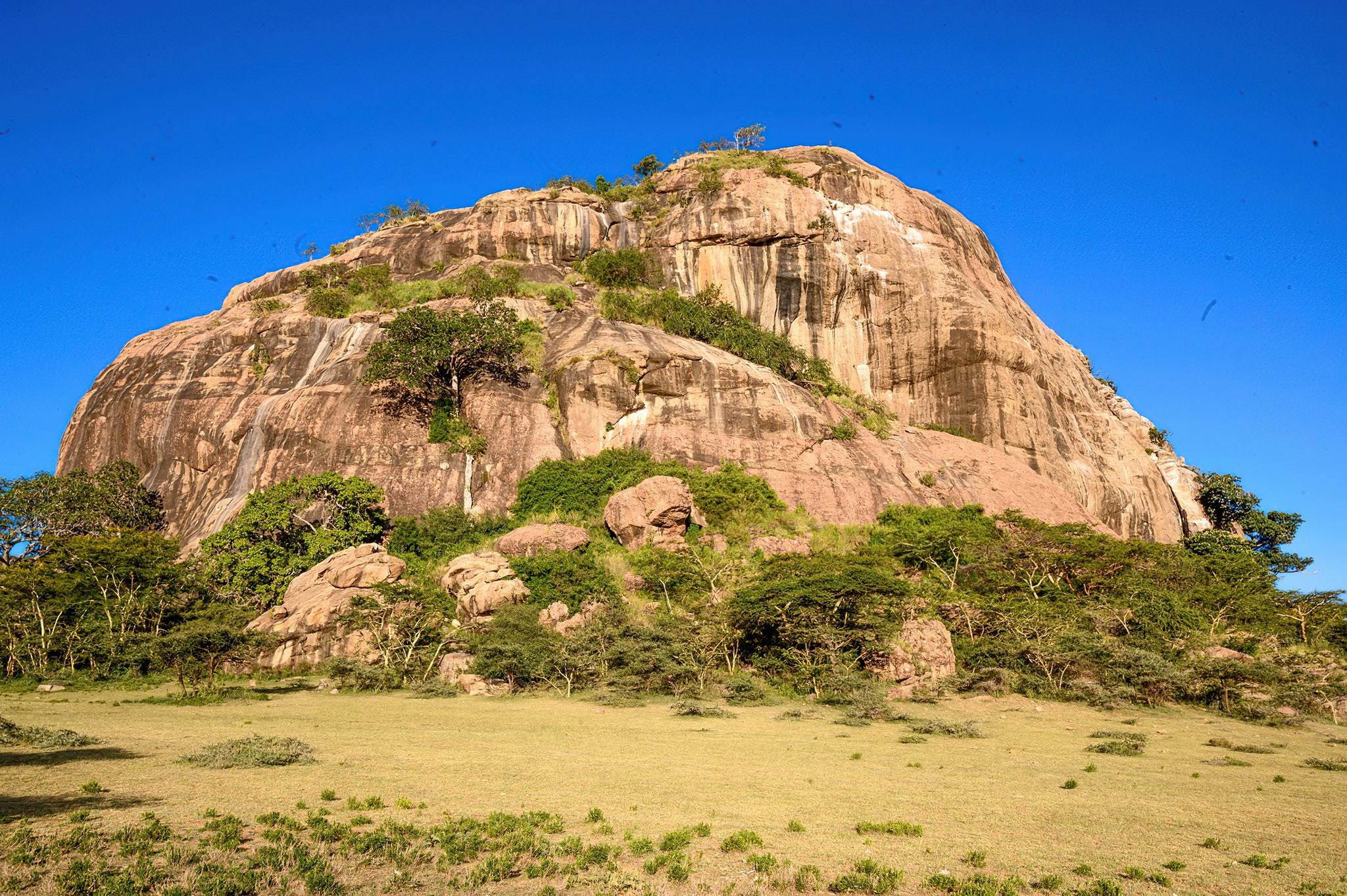
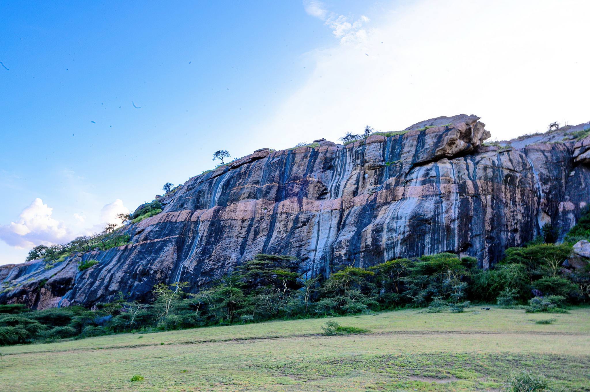
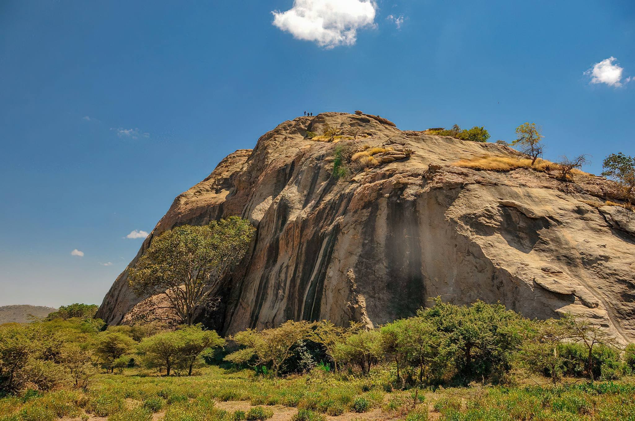
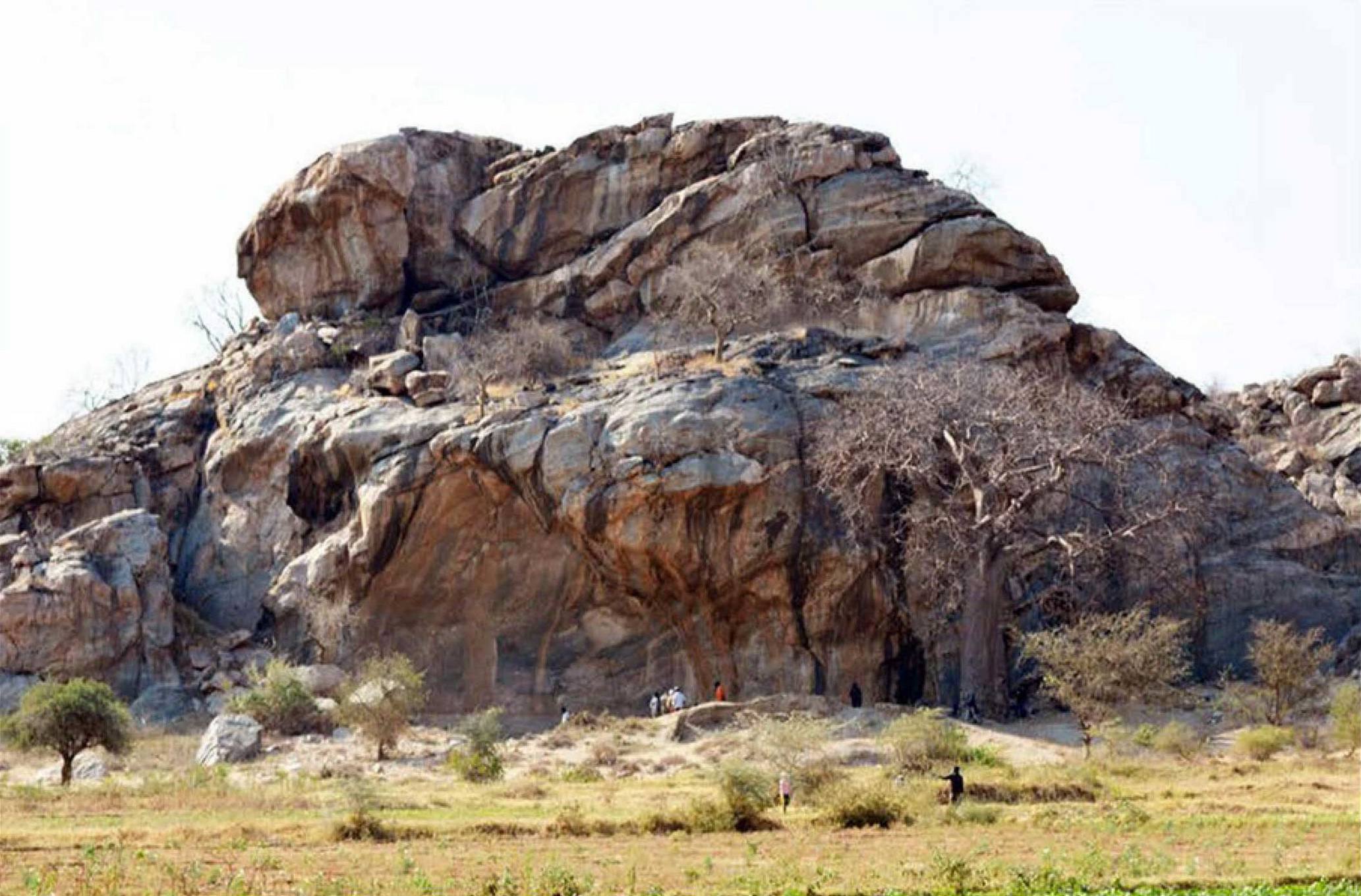
Nasera Rock
A gneiss inselberg (A huge granite monolith with height of about 100m) that is located near the northern border of the conservation area, at the edge of the Gol Mountains. It is Said to be the location of various archaeological findings most of which are stone artifacts high in quartz and obsidian, bone fragments and shreds of pottery – dated to as far back as 30,000 years ago. There also are rock paintings, most of which are faded out and hardly visible to all but rock art experts.
Wildebeest roam on the plains around the rock, baboons climb its sides, and a wide variety of bird life is to be seen. The ideal time to visit is December through May, but tours are available year round.
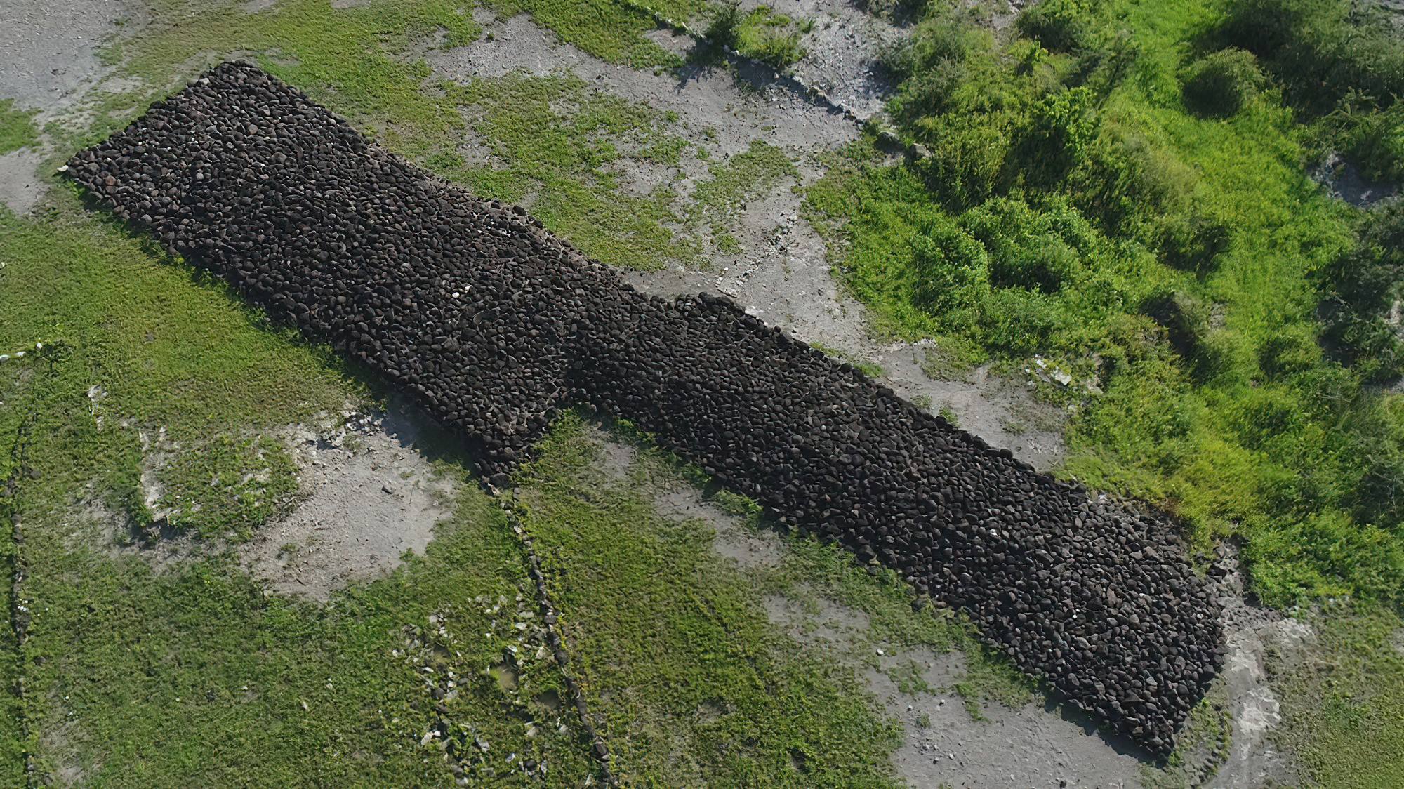
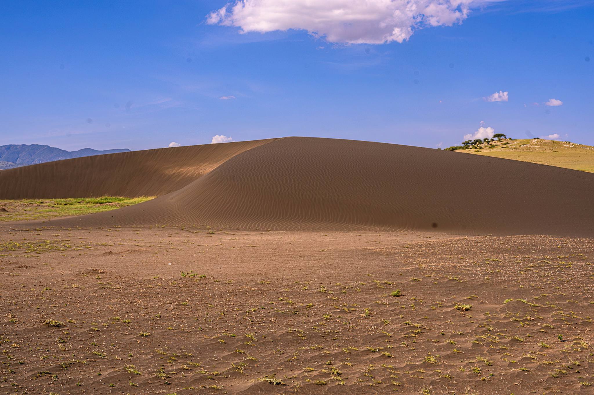
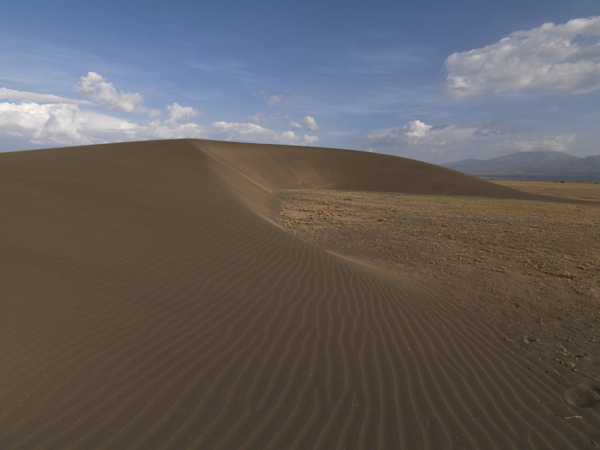
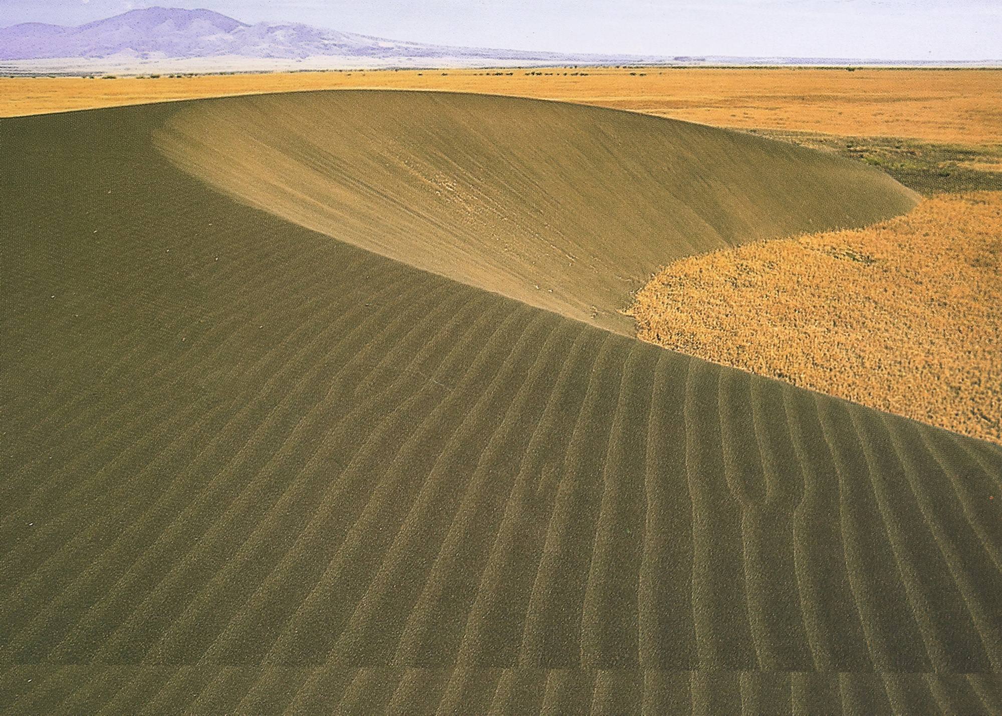
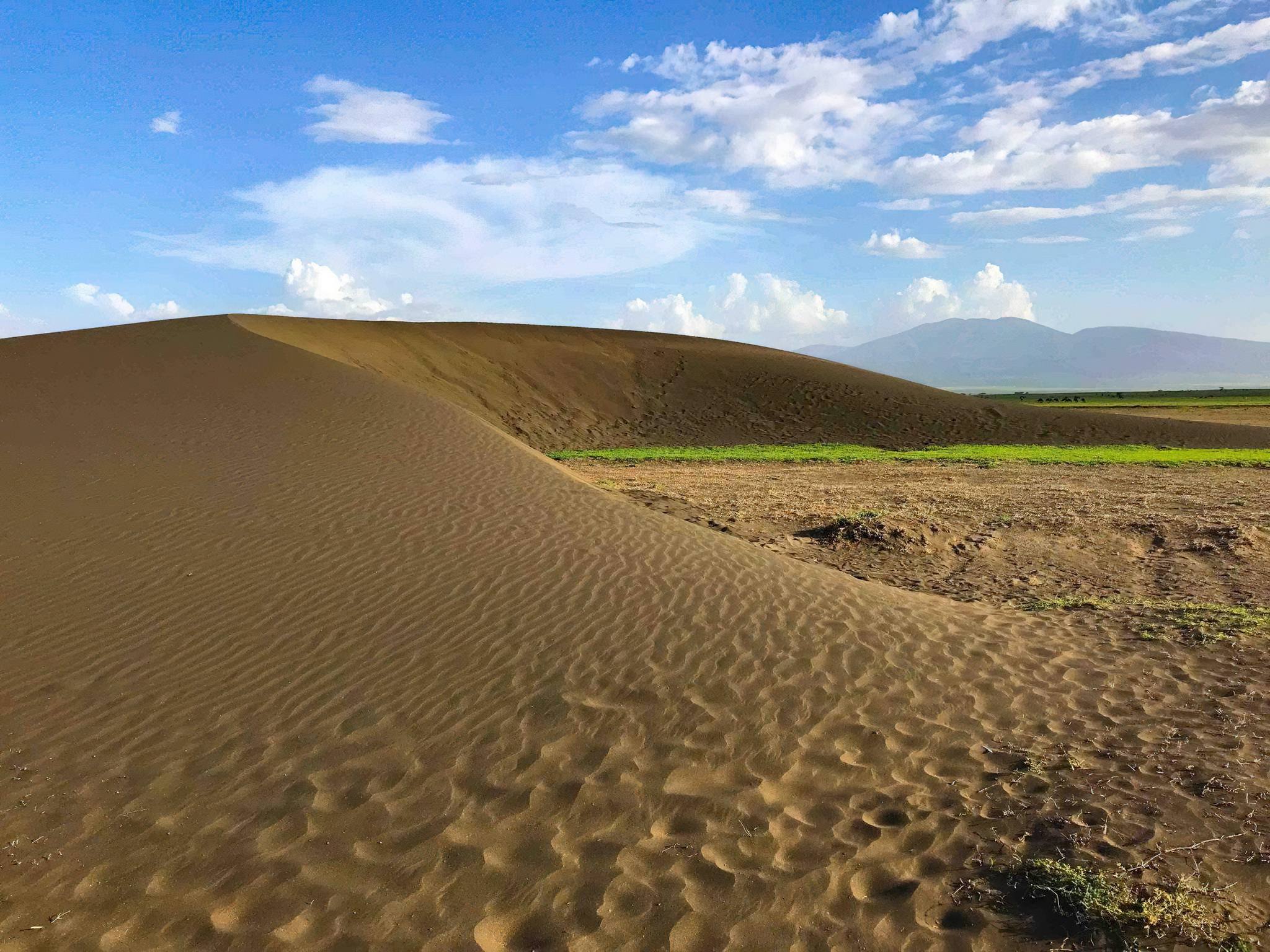
Shifting Sands
The black sand dunes that occur in the eastern Serengeti Plain near the Olduvai Gorge hominid site within the Ngorongoro Conservation Area in Tanzania are mainly identified as volcanic sand dunes. The migratory dunes, also known as the Shifting Sands, are located at least twelve kilometers north-west of the Museum at Olduvai Gorge and nearly two kilometers from the Gorge's bank.
It is one of the most spectacular moving ash dunes in the world, gradually blown westward across the plains at a rate of approximately 15 to 29 meters annually and has scoured lighter portions of the ash from the area, leaving behind the heavier dark colored iron-rich minerals that formed the dune.
.jpg)
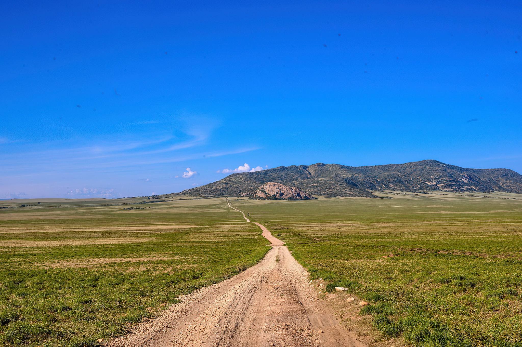
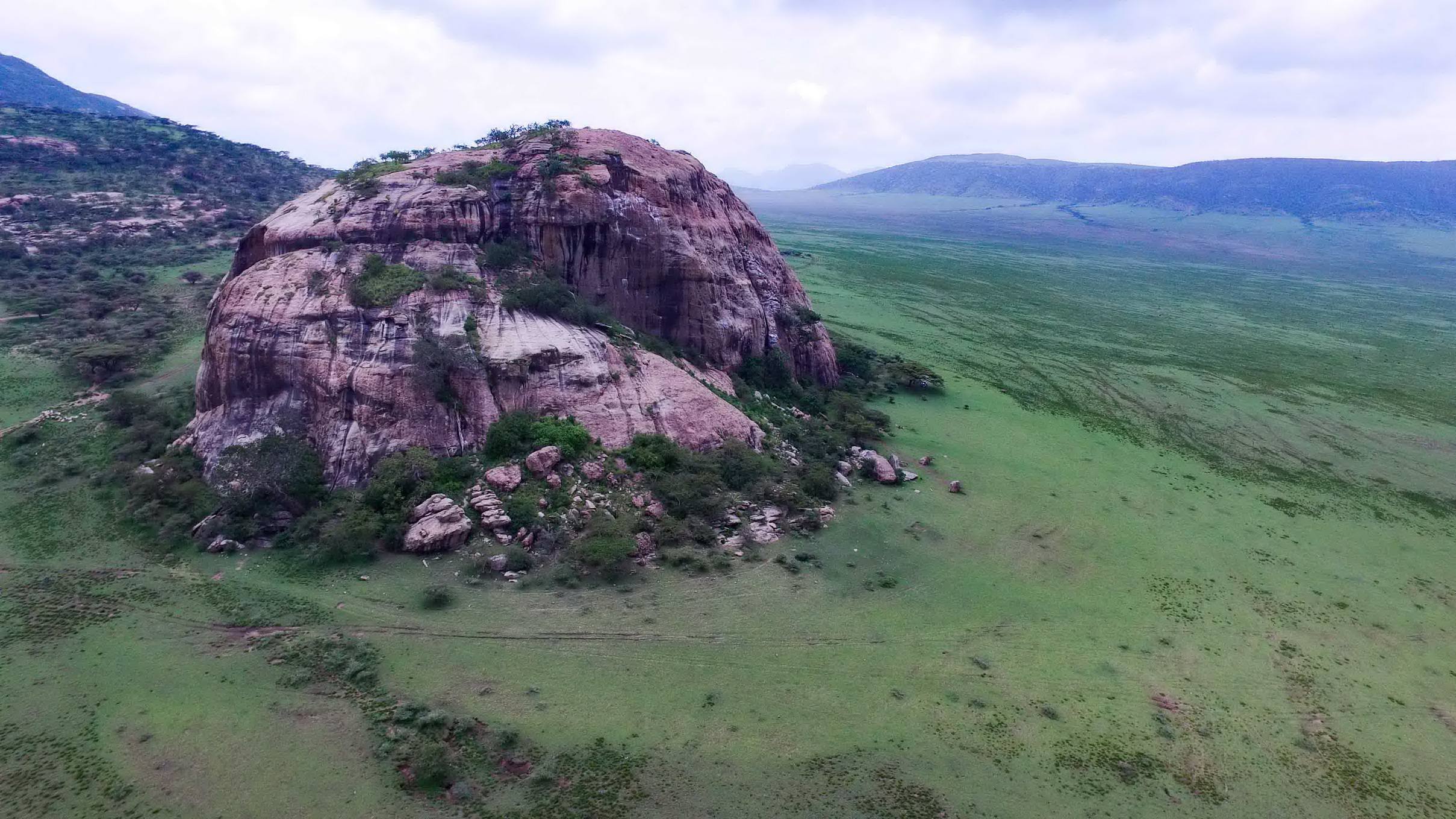
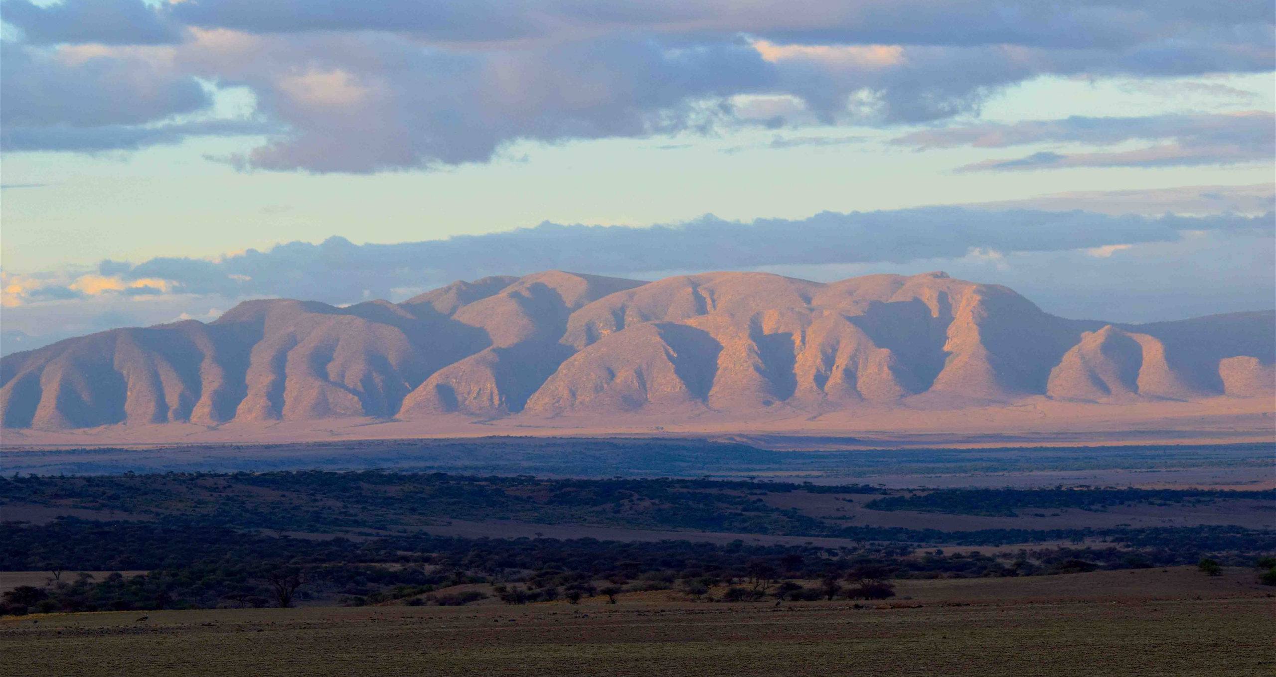
Gol Mountains
Northwest of the Ngorongoro Highlands, the ancient pink granite cliffs of the Gol Mountains are book-ended by Olkarien Gorge, a nesting site for Rüppell’s griffon vulture, and the 80-metre tall monolithic Nasera Rock. Here, the harsh Salei Plains support only the hardiest animals during the dry months, but attract huge herds of wildebeest and zebras during the migration months
of March and April. Further south, Shifting Sands, a tall black dune composed of magnetic volcanic sand from Ol Doinyo Lengai, is being blown westwards across the plains at an average rate of more than 15 metres per year.
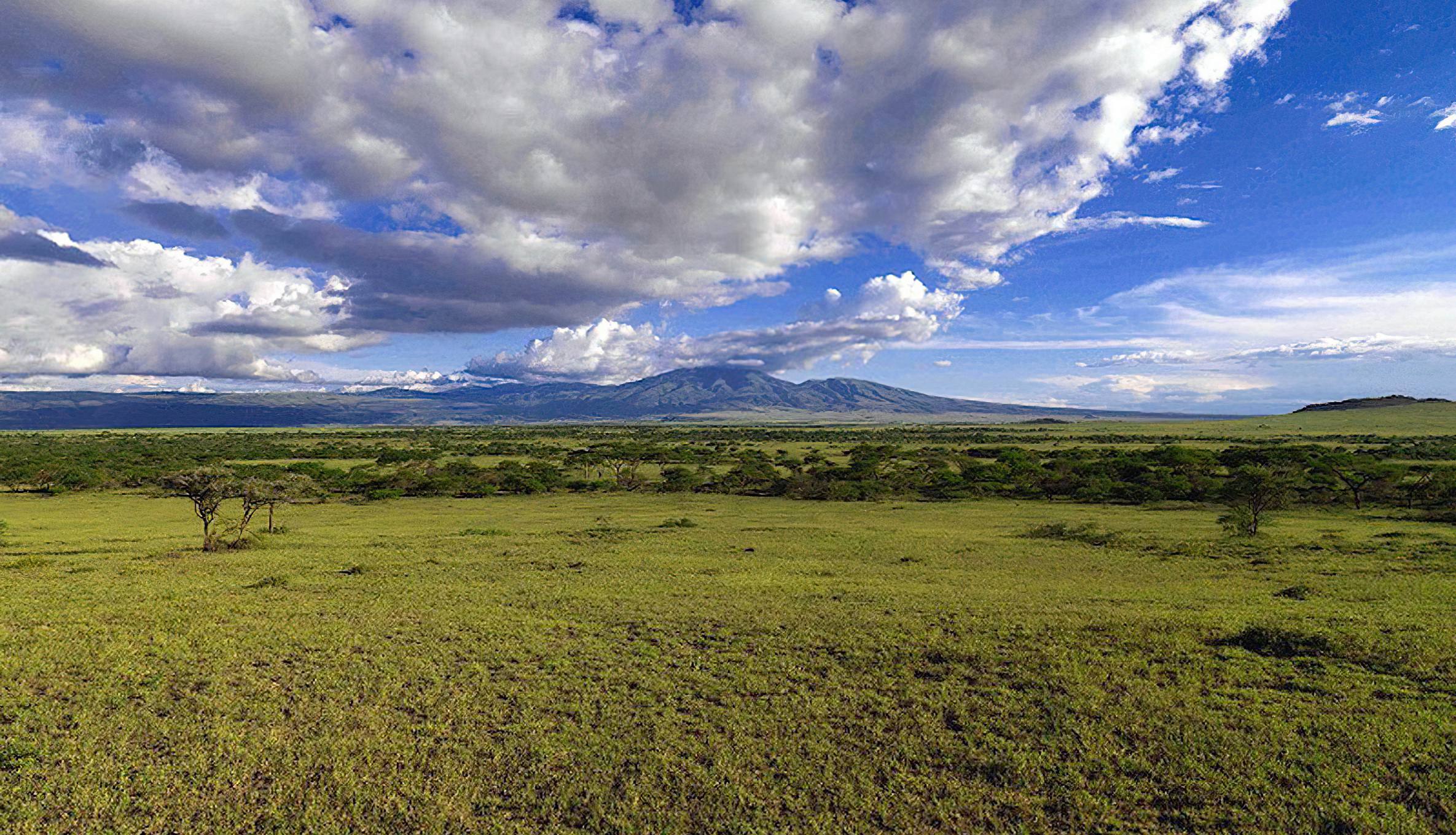
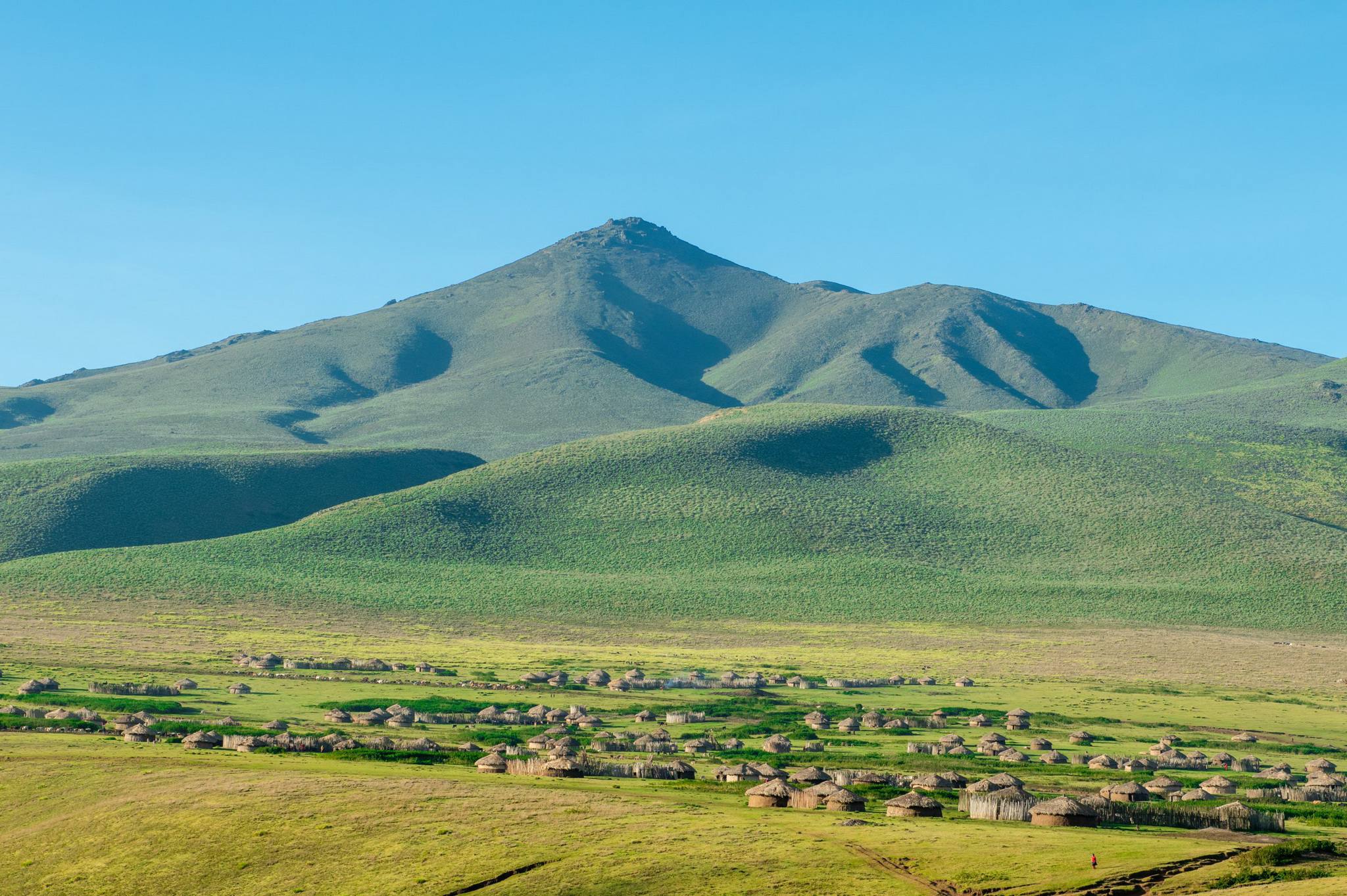
Mount Lolmalasin
Mount Lolmalasin is the highest crater mountain in the Ngorongoro Conservation Area and the third tallest mountain in Tanzania and the second highest peak in Arusha region after Mount Kilimanjaro and Mount Meru, reaching about 3,700 meters (12,080 ft) above sea level. The mountain lies near the Olmoti Crater on route to Empakaai Crater on the Ngorongoro Conservation Area's eastern border and is located entirely within Nainokanoka ward.
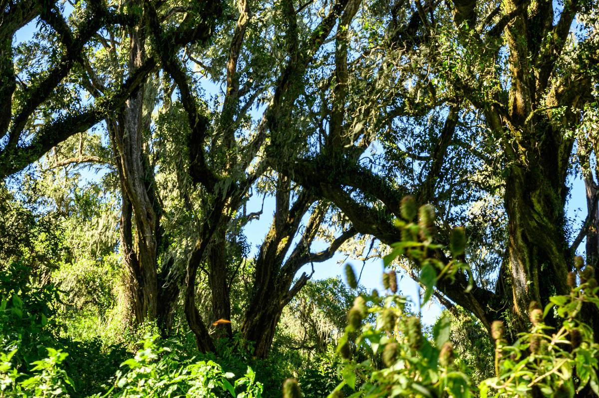
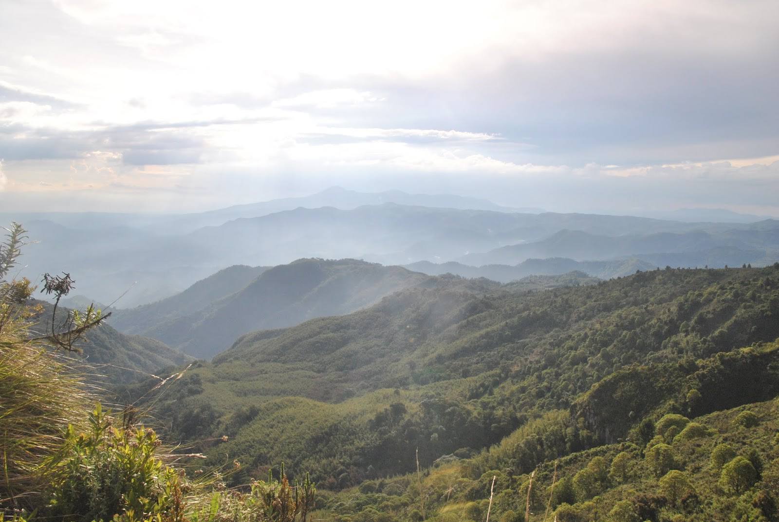
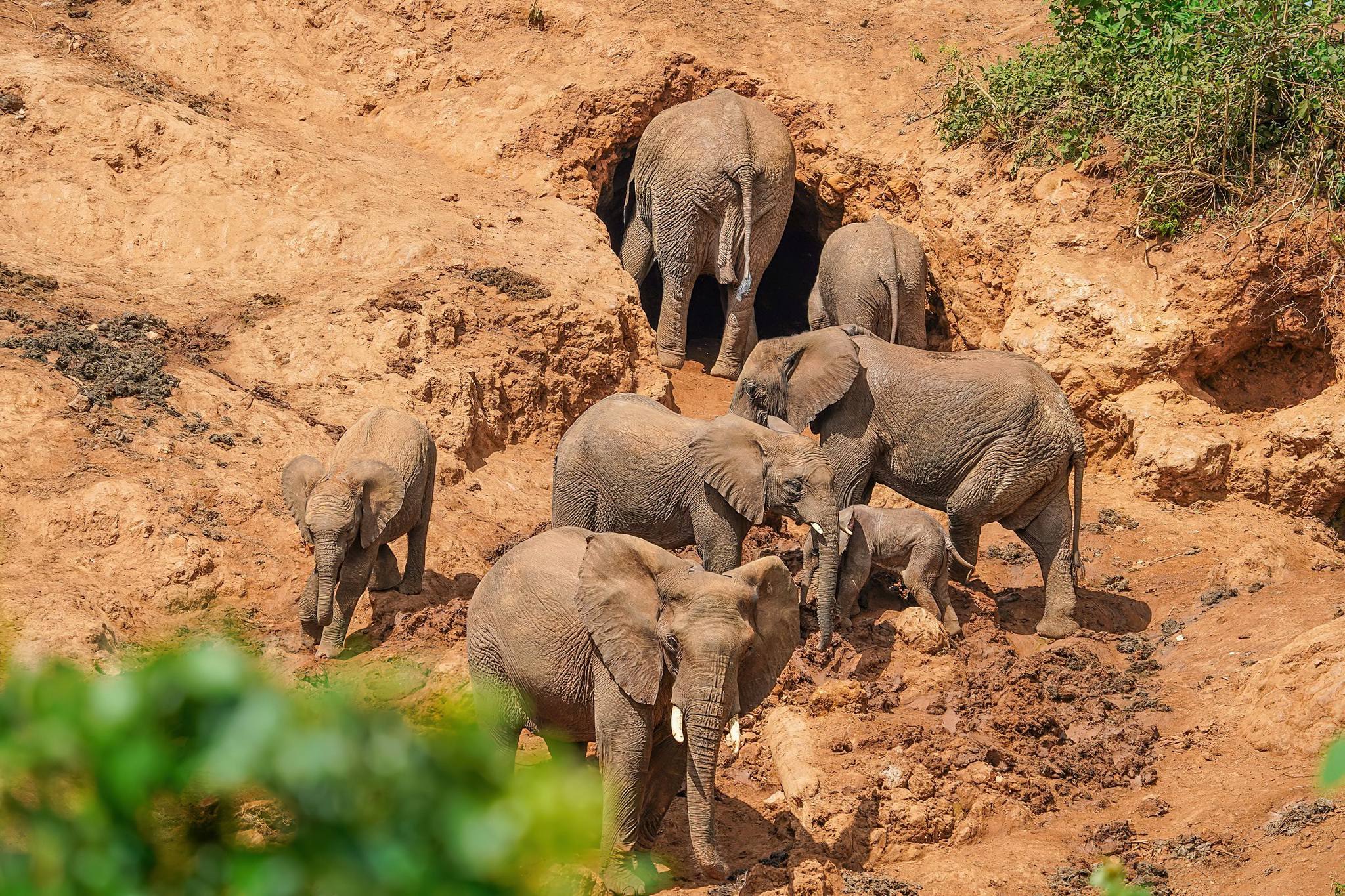
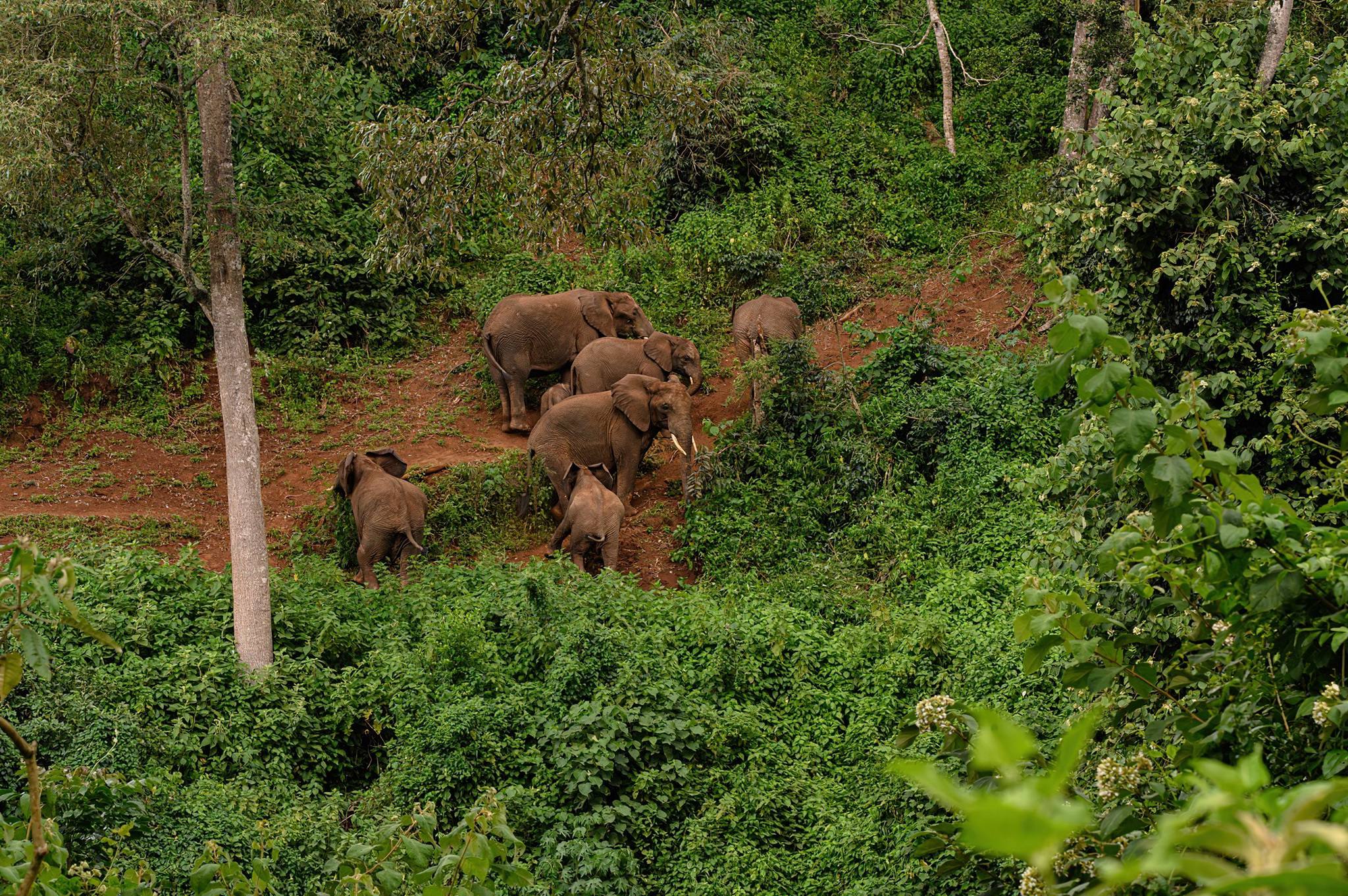
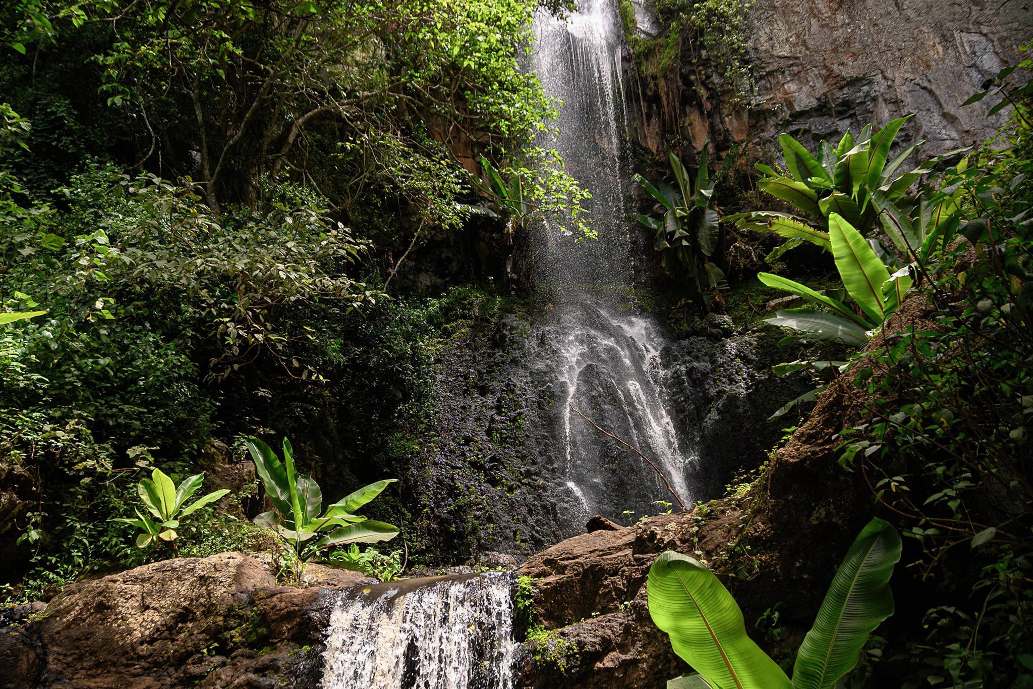
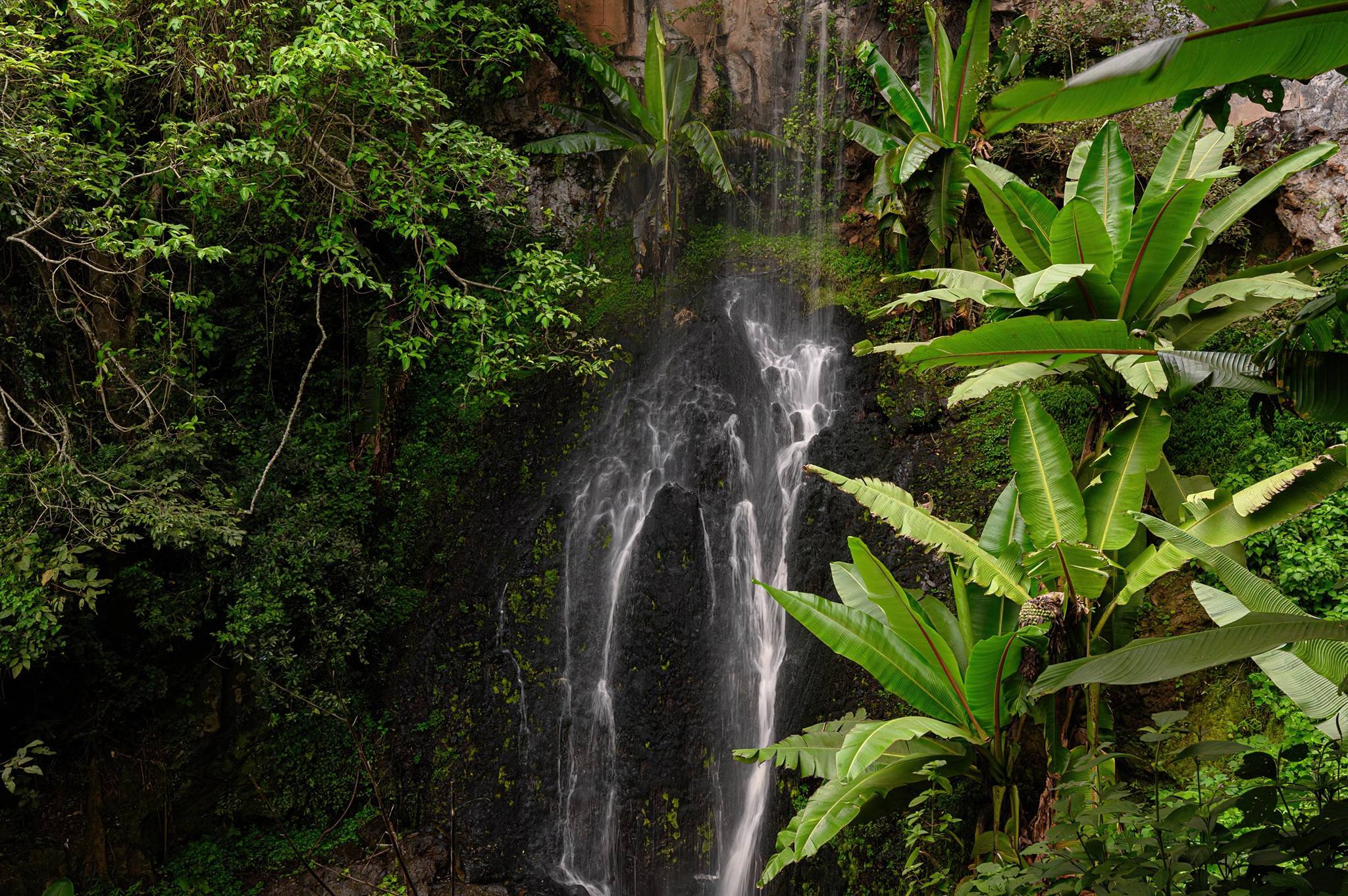
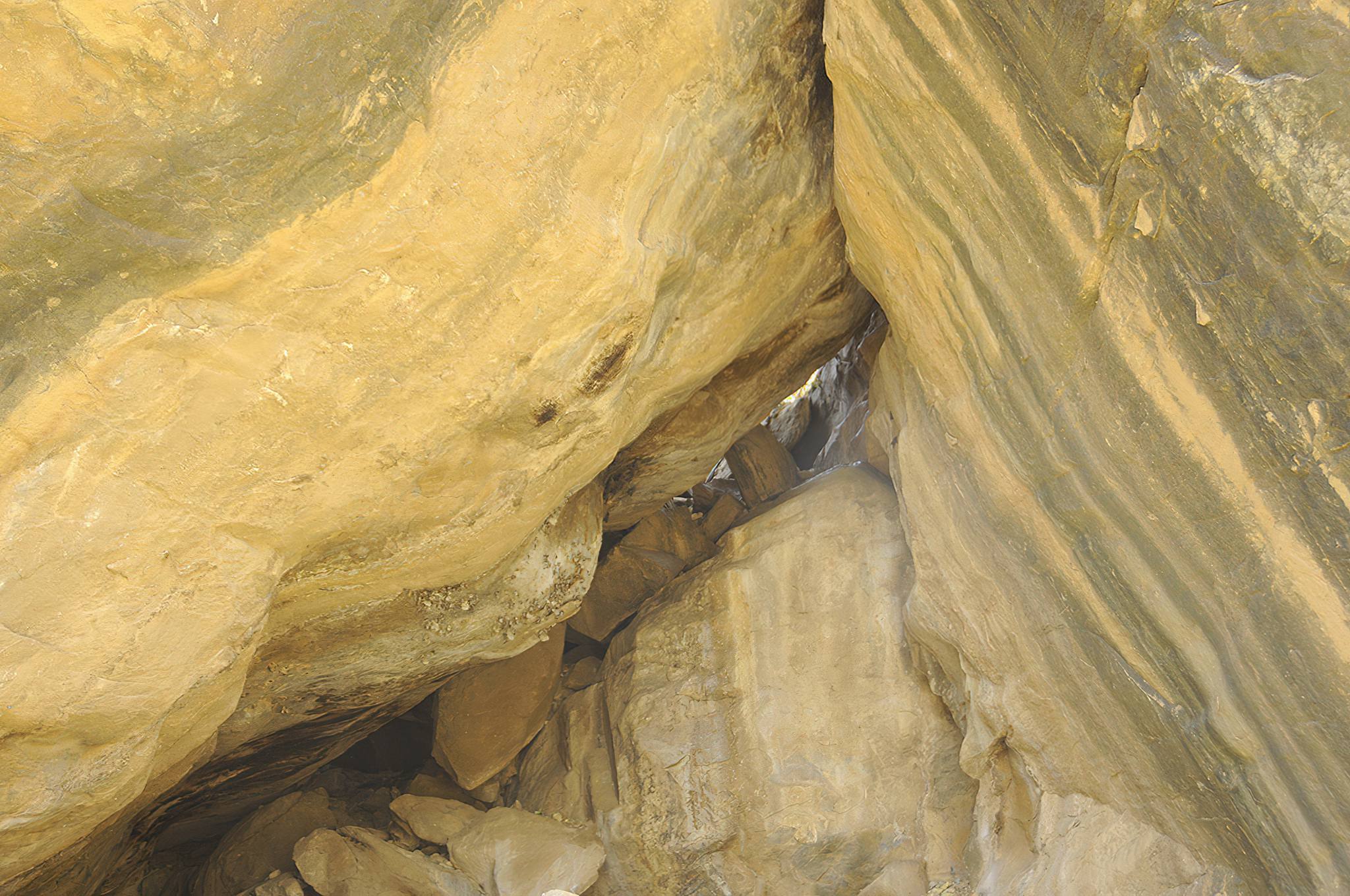
Ngorongoro Northern Highland Forest Reserve
The Northern Highland Forest Reserve (NHFR) is a thick forest with an abundance of attractions, including Endoro waterfalls, Elephant caves, flora and birds such as turaco, robin chat, bee-eater, honey guide, warbler, flycatcher, weaver, sunbird, buzzard, cuckoo, hornbill, bulbul, guinea fowl, to name a few.
Mumba Rock Shelter
Mumba is an extensive rock shelter under an immense outcrop of metamorphic gneiss located at 35°17’47″E, 3°32’26″S near the Northeastern shore of Lake Eyasi. The rock shelter contains one of the most important and complete archaeological sequences, pivotal in the study of Late Pleistocene archaeology of East Africa.
The finds from the shelter show a clear transition between the middle Stone Age and the Later Stone Age. A nearly 11-meter (36 feet) thick section of sediment in the shelter floor records hominid and human occupation that dates back at least 130,000 years before the present.
Destinations near Ngorongoro Conservation Area
These nearby destinations have a lot to offer